
Hang in there another day.
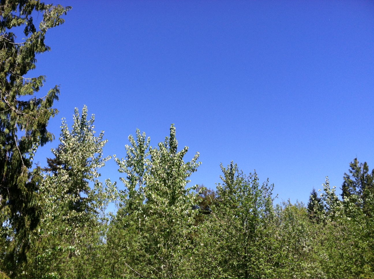
Temperatures are expected to return to normal tomorrow, but not before one last hurrah of damp weather extends our chillier-than-average streak to 10 straight days.
That’s right, Seattle hasn’t notched an above-normal high since May 20, when the thermometer at Sea-Tac crept up to 67 degrees. Of course, that was also the last totally rain-free day in the city—with nearly 2 inches piling up in the gauge since then. (In case you haven’t guessed, rainfall this month has now exceeded the 1.94 inch-norm—through yesterday, we’ve collected 2.38 inches.)
We’ll tack on another tenth of an inch today as a weak area of low pressure scoots through, touching off plenty of showers from late this morning through the afternoon. A Puget Sound Convergence Zone is also possible toward the evening hours—most likely in the typical location over Snohomish County. Any sunbreaks will be fleeting at best, leading to another round of subpar temperatures—expect highs only near 60.
Spring finally reappears tomorrow as high pressure builds in overhead, leading to clearing skies and readings in the mid to upper 60s—normalcy at long last. While we won’t be awash in wall-to-wall sunshine right out of the gate—leftover clouds will linger through mid-morning—we should end up on a mostly sunny note by late afternoon.
Unfortunately, the clouds thicken up once again as Saturday gets underway—but temperatures won’t take too much of a hit, only dropping a few degrees from Friday’s highs. Any rain showers should be confined to the mountains and places north of Seattle, with the immediate metro area subject to a dry, overcast day.
Brighter conditions return on Sunday as a stronger upper level ridge of high pressure takes control, steering the storm track well to our north. This should allow temperatures to rebound back to the 70-degree mark—a threshold not reached in Seattle since May 16—under clear skies.
The sunshine holds through the first part of next week, with the mercury spiking into the mid 70s Monday and Tuesday to kick off the first week of June. That should put temperatures 5 to 10 degrees on the plus side of normal—a welcome change from the gloom and doom that’s marked the final two weeks of May.
And a big step in the right direction as the calendar inches toward summer.


