
Yesterday, the mercury at SeaTac topped out at 49 degrees, making it the warmest day since Nov. 27, when we hit a whopping 56 degrees. (That was also back in another era, when it could be counted on to rain every other day or so.) Friday’s high temperature also means that it only took half of December for Seattle to finally reach or exceed its average high (which is 46 degrees for this time of year).
To date, this remains one of the coldest Decembers on record for Seattle, which is actually pretty shocking, considering there’s been no lowland snow or arctic air invasions whatsoever this month. The average temperature for December so far? 36.5 degrees, which is 4.5 degrees below normal, and only 1.3 degrees warmer than our coldest December ever (1990, when we actually had quite a bit of snow in Puget Sound).
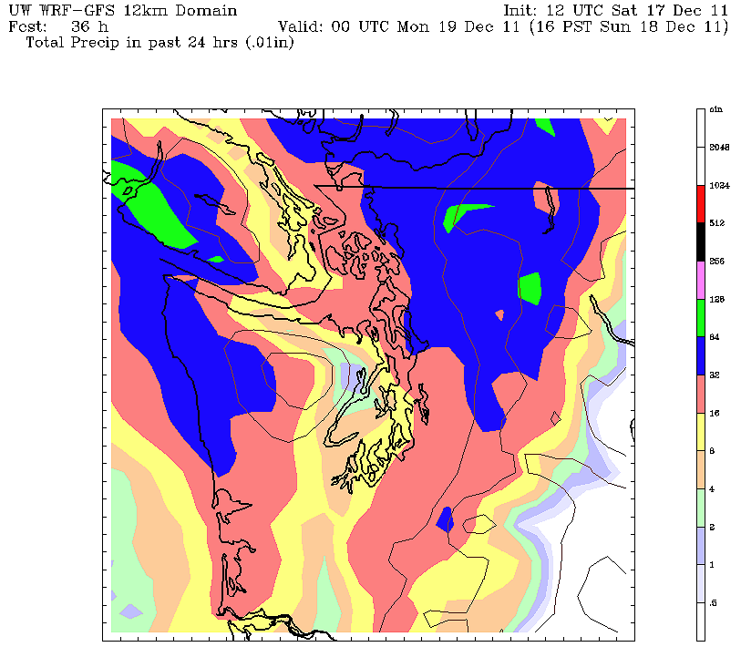 |
| UW model showing 24-hr rainfall through Sunday afternoon of .30″ for Seattle metro |
Today will ratchet our average temperature up a couple notches, as highs are set to top out around 50 degrees again. At 1 p.m., it was already 47 degrees at SeaTac, and with clear skies and a few more hours of daytime heating, it’s possible today will one-up Friday for the warmest day of the month.
Once night sets in, the clear skies will quickly turn cloudy, as a weak (but strong for this pathetic December) cold front approaches our area from the northwest. Rain should be falling by 10 p.m. tonight, lasting through about 4 a.m. or so, before tapering off to scattered showers and mostly cloudy skies Sunday morning.
This system could put down as much as .30″ of rainfall before it moves through, which would equate to FIVE times the amount of rainfall we’ve seen so far this month (.06″)! By Sunday night, skies will again clear, leading to yet another dry, foggy, and below average day on Monday.
A look ahead shows that some very light rain is possible late Tuesday and into Wednesday, and again on Thursday night. Temperatures will again hover in the low to mid-40s, as our cold and ridiculously dry December continues.
One long range model suggest a return to a wetter pattern by Christmas Eve, but I wouldn’t buy it at all, the way things have gone so far this month. Until we can permanently kick this ridge of high pressure in the eastern Pacific out of here (it keeps coming back!), our mundane weather will persist.


