Thanks to clear skies and calm winds, temperatures overnight plummeted to their coldest of the season—the upper 20s to lower 30s for most areas.
Sea-Tac Airport—where all of the city’s official weather measurements are recorded—bottomed out at 32 degrees early this morning, making for the chilliest low since Feb. 26, when the mercury dropped to 19. Many locations (especially those lower in elevation) saw overnight lows fall into the upper 20s, including Boeing Field in South Seattle, where the low was 28, and Olympia, where freezing fog and temperatures in the upper 20s were reported most of the night.
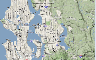
Temperatures are still rather cold at this hour, with most locations still stuck in the upper 30s, and some outlying areas, like Issaquah, not even cracking the 30-degree mark!
The region will gradually warm up as the day progresses, and most places should see highs close to 50 degrees by the time the sun sets at 4:45 tonight (keep in mind that a high of 50 is still below average for the date). The day will be yet another sunny one, with some high clouds filtering in late in the day. Rain appears likely late tomorrow night (plan on a cloudy Monday), but it won’t be anything special by November standards.
After rain on Tuesday, we look to dry out yet again, with sunshine and highs around 50 during the middle of the week. There are some early indications of much colder air invading Western Washington by the end of the week—we could be talking highs in the low- to mid-40s by next weekend with a chilly rain.
Something tells me that our first snowfall is not too far off…


