
We’re overdue, and then some.
Seattle hasn’t reached into the 60s since April 3, instead spending most of the month shivering under overcast skies and unrelenting rain. Fortunately, a change for the better is in the works, with sunshine and much warmer temperatures just around the bend.
Already, skies are clearing from north to south as leftover showers from today’s Convergence Zone flee the region, wrapping up a soggy weekend that began with 0.81 inches of rain on Friday—enough to make this month the second-rainiest April on record for Seattle. Additional showers this afternoon lifted our monthly rain total at Sea-Tac to 5.70 inches—a staggering 3 inches above normal for April.
Thankfully, the only time we’ll find ourselves on the plus side of average this week is when it comes to temperatures.
Our venture into warmer weather begins tomorrow, with temperatures rebounding from the upper 30s near sunrise to the 60-degree mark by late afternoon. With ample sunshine in place, it’ll be the first truly spring-like day around here since the beginning of the month.
Mother Nature cranks up the thermometer a few more degrees on Tuesday, with high temperatures rising to the mid 60s in the city. With a ridge of high pressure centered off the coast, sunny skies will again prevail up and down the I-5 corridor.
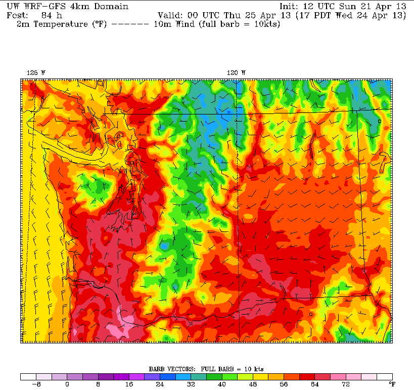
It’s Wednesday when things really get cooking. With high pressure still intact and warmer air trickling into Puget Sound from the east, the stage will be set for the mercury to make a run at 70 degrees—the likes of which Seattle hasn’t seen since last October. (We peaked at 69 on March 31.) Whether or not we actually crack 70 will depend largely on the strength of the offshore winds on Wednesday—if the winds can pull in enough warmer air over the Cascades, we’ll get there, if not, temperatures will max out in the upper 60s.
In either case, we’ll cool down a couple notches on Thursday as the winds flip back to the west, drawing in some marine air from the ocean. Low clouds will also stream inland during the morning hours, but by the afternoon, most of the region should be enjoying another round of mostly sunny skies.
And relishing the fact that for once this April, the weather hasn’t been a washout.


