
60 degrees may be the late-April norm around here, but this week, we’re pulling 70s out of our hat like there’s no tomorrow.
Until Saturday, that is.
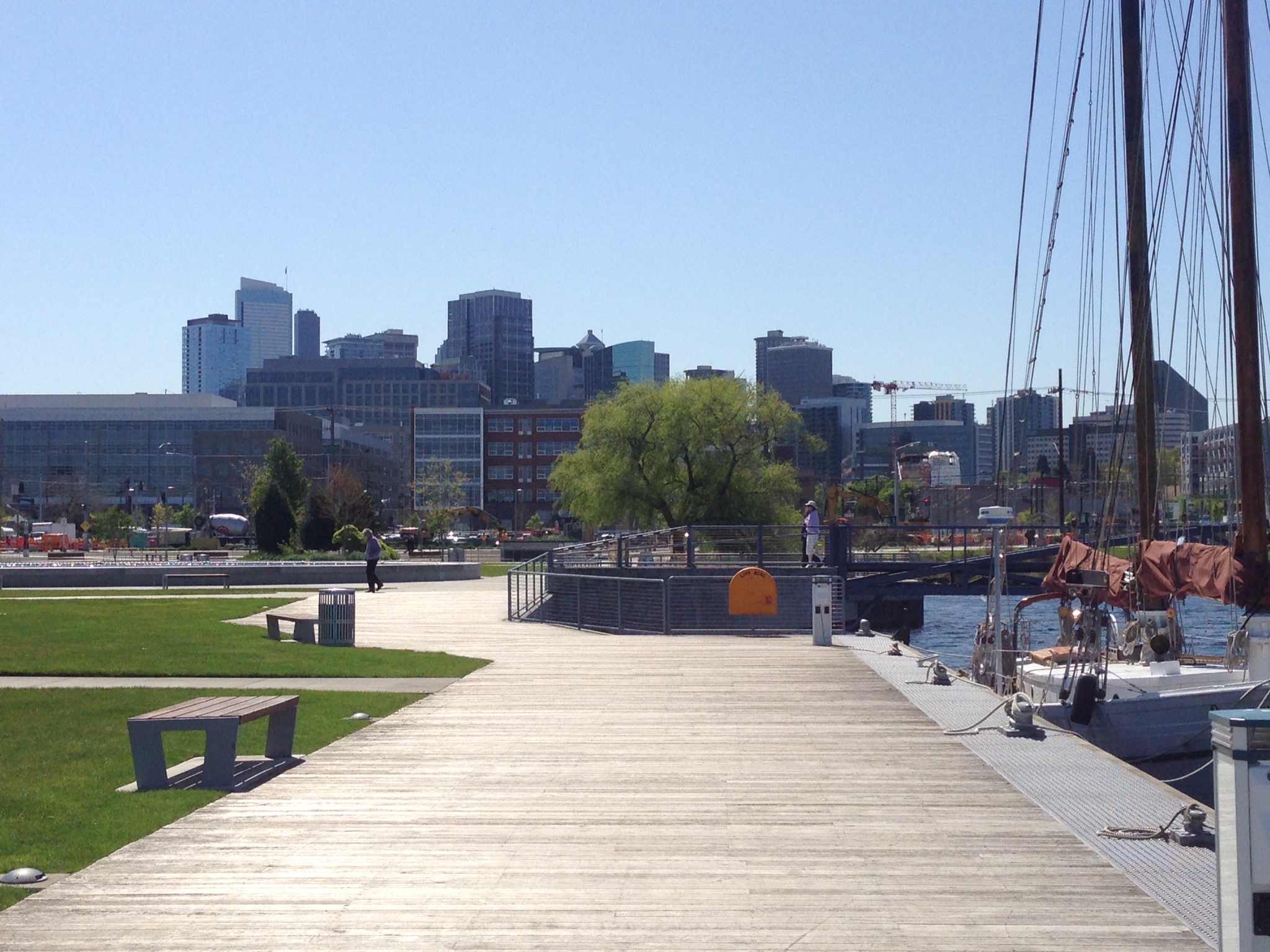
After reaching 70 degrees yesterday for the first time this year, temperatures are expected to soar 10 degrees above average again later this afternoon and tomorrow, before a pair of cold fronts rains on our parade this weekend. While the warmth will level off far from chart-busting—Seattle’s record highs for the final week of April are in the upper 70s to lower 80s—it’ll still make for a nice change of pace from the incessant downpours and below-normal temperatures that have gripped Western Washington for the better part of the month.
The picture-perfect weather is courtesy of a ridge of high pressure perched over the eastern Pacific, which has steered approaching storms well to our north since Monday. With no moisture in sight through tomorrow, we’ll easily notch our driest stretch of the month, going a full five days without a drop of rain. Given the near-record 5.70 inches of precipitation that’s already fallen this month—the second-highest total ever observed in Seattle during April—that’s no small feat.
Our luck runs out on Saturday, though, as the area of high pressure noses off to the south, opening the door for wet weather to return. By late Saturday morning, clouds ahead of an approaching cold front will flood into the region, engulfing Seattle in overcast skies and much cooler air. In fact, the mercury will likely struggle to reach 60 degrees for the day as temperatures tumble in the wake of the storm. Rain showers will fortunately be of the lighter variety, only amounting to a tenth of an inch or so as the front limps through in the afternoon.
The increasingly strong spring sun pokes a few holes in the overcast Sunday morning, but skies will quickly fill in again by lunchtime as a stronger front barrels in from the northwest. Around Seattle, a quarter-inch of rain can be expected—which would put the monthly rain total at Sea-Tac Airport perilously close to the 6-inch mark. Since records began at the airport in 1945, only one April has measured more than 6 inches of rain—the waterlogged April of 1991, when a record 6.53 inches drenched the city.
For those hoping for this April to dethrone 1991 as Seattle’s wettest, a glimmer of hope remains: a Puget Sound Convergence Zone swinging in behind the front Sunday night and Monday will enhance shower activity across the region. However, the Zone is most likely to form north of Seattle, probably over Skagit and Snohomish counties, sparing the airport from all but a couple of rogue showers. Dry weather then closes out the month on Tuesday, with another ridge of high pressure taking up residence near the coast.
Dare we say spring might be turning the corner?


