
The heat is on.
After notching back-to-back highs in the mid 80s—Seattle soared to 87 degrees on Friday and 86 yesterday—the city is primed to crack the 90-degree mark today as a relentless surge of warm air marches north from the desert Southwest.
Got sunscreen, Seattle?
It’ll be a toasty day to spend outside, with the area getting its earliest taste of the 90s since 2009, when the mercury spiked to 91 degrees in early June. Since then, the 90s have arrived later and later in Puget Sound—if at all—appearing for the first time in Seattle on July 7 in 2010 and not until Aug. 4 last year, with 2011 missing out entirely.
That trend ends today, with most places from King County southward climbing over the 90-degree barrier late this afternoon. Shortly beforehand, we’ll also see a changing of the guard as May 6 relinquishes its title as the year’s hottest day to June 30. (It’s already been a rough weekend for the once-proud day that recorded Sea-Tac’s earliest 87-degree reading—two days ago, it was forced to share its crown with June 28.)
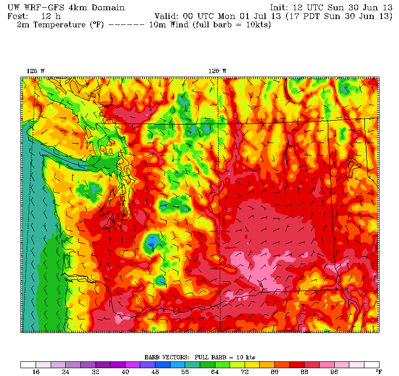
With the sun not setting until after 9 o’clock, temperatures will have a hard time cooling off much this evening, hovering in the 80s until nightfall. In addition, dew points in the upper 50s and lower 60s will make for continued muggy conditions—thanks to all the recent rainfall.
The mercury eventually slumps into the mid 60s tomorrow morning—hardly any relief for an air conditioning-free city where the normal early summertime low is 54 degrees. The hot air then quickly returns as a massive upper level ridge of high pressure, currently parked over Las Vegas, stretches northward. By Monday afternoon, the heart of the ridge is expected to be directly over Boise, allowing scorching temperatures to spill westward into the Seattle area. Highs tomorrow will likely peak in the low to mid 90s—crushing the daily record for July 1 of 87 degrees.
The strong ridge of high pressure remains in place on Tuesday, but with some marine air trickling in from the Pacific, temperatures should drop a few degrees, maxing out in the upper 80s. Regardless, it’ll be another sunny, warm day, with temperatures still leaps and bounds above the early July norm of 73.
High pressure gradually retreats to the south on Wednesday, knocking the mercury back to a more pleasant 82 degrees amid continued sunshine. The warm-but-not-hot weather holds over into the Fourth of July, with highs limited to 80 degrees after some morning clouds.
Any way to fast forward to then?


