What happens in the mountains stays in the mountains.
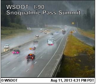
That’s our tagline for the rest of the day as a line of storms moves from south to north along the spine of the Cascades, kicking up plenty of thunder, lightning and rain while the greater Puget Sound area remains in the clear. In fact, partly sunny conditions have prevailed for a good chunk of the day throughout the Seattle metro—in contrast to the grim skies bearing down on the mountains.
As we head into the evening hours, the bulk of the activity in the Cascades will shift further north as an area of low pressure churns up the coastline, taking the best dynamics with it. The low—the same one that dazzled Seattle early Saturday morning with lightning more reminiscent of a Midwest thunderstorm—is responsible for the active weather of late, having flipped the upper level winds to the south and southeast. This, in turn, has allowed storms forming in the mountains to wander further west than usual (they usually head east).
With the low scooting off into Canada, we’ll enjoy a rain-free evening tonight, with a smattering of high clouds drifting by overhead. After a high of 77 degrees—normal for this time of year—temperatures will ease back into the 60s, eventually dipping into the upper 50s.
Tomorrow should start off similar to today, with minimal morning clouds and a fair amount of sunshine. Highs will tick back up another degree or two as the upper level low pulls away, making for a pleasant afternoon.
On Tuesday, the marine layer will push in a bit further from the coast—maybe to Olympia—before burning back to reveal more blue skies. Further east, from Tacoma up through Everett, we should be sunny from the get-go. Temperatures will rise into the lower 80s.
Wednesday and Thursday look nearly identical: clouds and fog near the coast to start the day, and mostly sunny skies over Seattle. The mercury will again hold steady near 80 degrees.
It’s not until Friday when rain finally creeps into the forecast again. Another area of low pressure is expected to shuffle toward the state from the northwest, dropping temperatures back into the lower 70s amid a round of light showers. While the majority of the action will be focused in the Cascades, the entire I-5 corridor is likely to see a little rain out of this system.
In other words, what happens in the mountains probably won’t stay in the mountains.