
It doesn’t get much better than this.
After a brief interruption in our sunny spell the past few days, courtesy of an extra-stubborn marine layer, blue skies are back in full force today—along with an added dose of warmth.
High temperatures will peak in the lower 70s early this evening as sunshine continues to blaze down from above, making for a pleasant night across the Sound. The mercury should eventually fall off into the 60s as we head into the overnight hours, bottoming out in the lower 50s by dawn.
Tomorrow starts much the same as today, albeit a touch warmer, with temperatures rising into the 70s around lunchtime. At Sea-Tac Airport, Seattle’s official weather-reporting site, the high should top out near 75 degrees—with slightly warmer readings downtown.
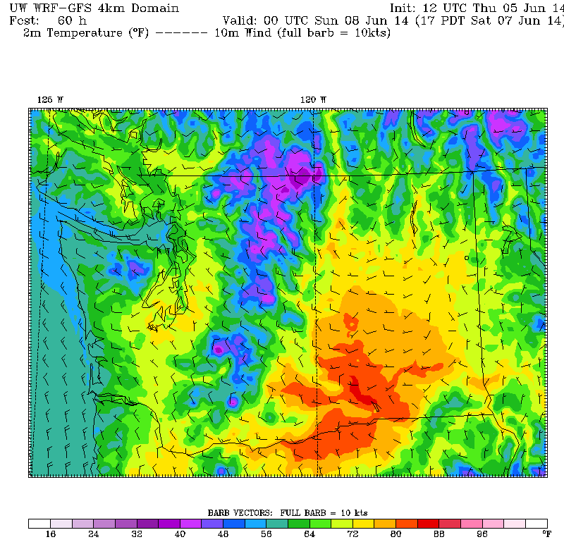
It’s rinse-and-repeat for both Saturday and Sunday, with sunny skies and temperatures again making a run at the mid 70s. That’s roughly 5 to 7 degrees above normal for early June—pretty much the definition of ideal weather around here.
As we head into next week, the pattern starts to shift a bit as an area of low pressure treks by to our north. This will allow cooler air to flood into the region from the Pacific, knocking daytime highs back into the mid or upper 60s amid plenty of clouds. Still, we should see some sunbreaks in the afternoons—with the threat of rain remaining low. (After our soaker of a late winter/early spring, we’ve stayed dry for the past 11 days. Double digits, Seattle, double digits!)
We continue to rotate between clouds and sun well into the second half of next week, with the mornings most vulnerable to the gloom, thanks to the Chehalis Gap. Afternoon highs should hover near 70 degrees—fairly normal weather for the final days of spring.
After the downpours of previous months, normal sounds just about right.


