It finally happened.
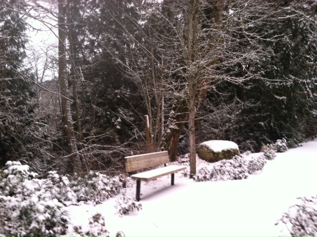
After missing out on several snowfalls to the south the past few days, Seattle got in on the action Saturday night, registering 2 to 3 inches of snow as a storm system from Oregon swept up I-5. At Sea-Tac Airport, where Seattle’s official weather records are kept, 2.9 inches fell, making yesterday the city’s snowiest February day in 13 years. Not since Feb. 16, 2001 has Seattle seen a bigger February snowfall. (Overall, Saturday’s snow was the most for the city since Jan. 18, 2012.)
Things were even whiter further south, with 4- to 5-inch totals in parts of Pierce and Thurston County and 6 inches near Chehalis. In Oregon, most of the Portland area dodged another major snowfall, but warmer air moving in from the Pacific clashed with cold air at the surface, leading to freezing rain, ice and treacherous driving conditions.

Back in Seattle, expect a gradual melting of the snow as the day wears on and temperatures continue to climb above freezing—as of mid-morning, most of the metro area was hovering between 32 and 34 degrees. Cloudy skies will hold tight through the afternoon, with light rain arriving in the evening. By then, the mercury should be perched in the upper 30s to lower 40s—ending the snow threat for the region.
More rain moves in Monday morning as temperatures rise to the mid 40s—the warmest we’ve been in a week. Even then, highs will still be a few degrees shy of average—Seattle should be topping out around 50 degrees this time of year.
A wetter, windier system blows in midday Tuesday, bringing over half an inch of rain to the city and several inches of snow to the mountains. Across the metro area, the bulk of the moisture should fall Tuesday night into Wednesday, with wind gusts in the 30-35 mph range.
Leftover showers stick around through the first half of Wednesday, before a break in the weather later in the day. Thursday then looks to start mostly dry, with another round of rain returning in the evening. Temperatures will nudge closer to normal both days, peaking near 50 as more typical weather resumes.
For now, get outside and enjoy the atypical—Seattle’s first-in-a-decade big February snow.


Is it going to rain tonight through tomorrow morning?
Yep–should start around 7 tonight. It’ll be pretty light, though, nothing too crazy.