
After two years in a row of snowier-than-average winters, the other shoe dropped.
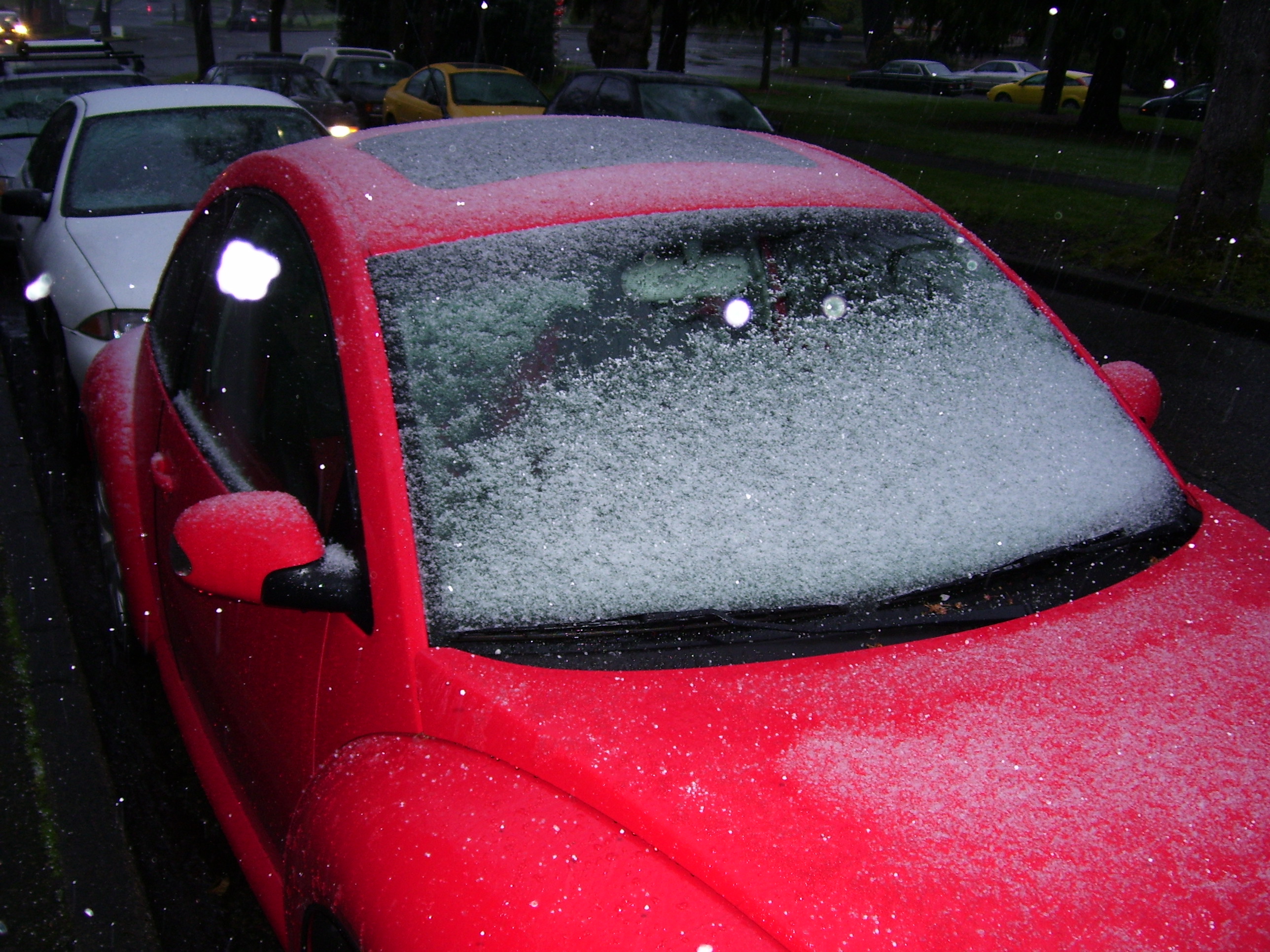
The final calling card for the winter of 2012-13? A fraction of snow—0.6 inches, officially, all of which was recorded at the airport on Dec. 18. To add insult to injury, the flakes stuck in the dead of night, between 2 and 5 a.m., meaning the closest most Seattleites came to seeing sticking snow this winter was in their dreams. (Friday’s flurries were pretty, but since they didn’t accumulate, they don’t count.)
The dismal snow total was our worst since the winter of 2009-10, when no measurable snow fell in the city whatsoever. That winter, however, featured a pretty strong El Nino—so the lack of snowfall wasn’t as surprising, given that El Ninos tend to feature dramatically less snowfall in Seattle and the Northwest as a whole.
The forecast for this past winter was admittedly much less clearer, for while there was no El Nino in play, there also wasn’t a La Nina lurking in the Pacific—and La Ninas generally are good for a couple lowland snow events. Still, most winters without either a La Nina or El Nino—“neutral” winters, in meteorology speak—are able to deliver at least an inch of snow around here. Evidently, 2012-2013 didn’t get the memo.
Lack of snow aside, the winter season was also relatively tame in terms of large storms. Things started promisingly enough, with a whopping 2.13 inches of rain on Nov. 19 jump-starting a month-long stretch of moderate to heavy rainfall. In a sign of things to come, however, Seattle was spared from damaging winds on Dec. 17 when a powerful low tracked too far south—and again a week later when a Christmas morning snowfall failed to materialize.
Once the new year rolled in, our weather really quieted down as a large ridge of high pressure dug its heels in off the West Coast for the majority of January…and February. This led to days on end of extremely thick fog in January, followed by seemingly never-ending stretches of light drizzle in February. Due to the lack of big storms, both months ended up significantly drier than normal—with February Seattle’s seventh-driest on record. (The one exception to all the dull weather? The vigorous cold front that plowed through the region Jan. 8-9, dumping nearly 2 inches of rain on Seattle in less than 24 hours.)
Things turned a little stormier during winter’s final act earlier this month, with nearly an inch of rain falling between the 6th and 7th, and again from last Tuesday into Wednesday as winter rolled into spring. Some colder air also snuck in—the temperature dipped to the freezing mark on Mar. 4, and close to it on Friday—but no accumulating snow fell in Seattle.
And so ends the story of the winter of 2012-2013—a winter marked more by what it didn’t feature than what it did. Now, with spring finally here, our expectations turn from rain and snow to sunshine and warmth. Here’s to hoping the spring of 2013 features plenty of both.


4th winter in past 11 with trace to no snow? AGW creeping methinks