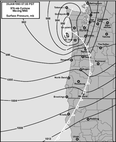
54 years ago today, the most destructive windstorm in Pacific Northwest history devastated Puget Sound.
Now, a good half-century later, some forecast models say it could happen again on Saturday.
An explosive area of low pressure, containing the remnants of Super Typhoon Songda, will hurtle toward the West Coast this weekend—potentially deepening to 960 millibars or lower as it races across the Pacific. (For reference, 960 millibars is the pressure observed in a Category 3 Hurricane.)
The million-dollar question: where exactly will this low—the equivalent of a meteorological bomb—track as it closes in on our area?
For Seattle and the greater Puget Sound region, the answer will be the difference between widespread destructive winds and a glancing blow.
As of this writing, the latest weather model produced by the European Center for Medium Range Weather Forecasting (commonly referred to as the Euro) paints an alarming, worst-case scenario track for our region. This model brings the area of low pressure right up the coastline of Oregon and Washington before propelling it to the northeast. Such a scenario would rake the Sound with destructive winds, likely gusting upwards of 70 mph. As the National Weather Service puts it, this would:
[pullquote align=”full” cite=”” link=”” color=”” class=”” size=””]”Be a worst case scenario leading to a historical windstorm for nearly all of Western Washington that would be long remembered.”[/pullquote]
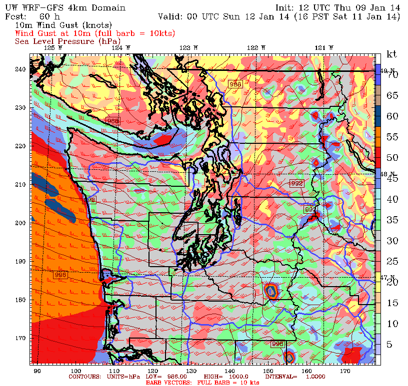
The weather service pegs the odds of this happening at 1 in 3—meaning there is still a greater than not chance we’ll be spared. The University of Washington’s high-resolution version of the American weather model (the GFS) lends hope to a significantly lighter blow for Seattle, taking the low much further north and west—on a collision course with the northern tip of Vancouver Island rather than Western Washington. Such a scenario would still bring gusty winds to most of the region, but damaging speeds would be out of the cards for the greater Seattle-Tacoma-Everett area.
With such great uncertainty at this time, it’s best to prepare for the worst—and hope for the best. With that in mind, please review these handy guidelines from the National Weather Service in Seattle on what to do before, during, and after a major windstorm.
NOTE: Strong winds are also possible in Seattle Friday morning, with gusts up to 50 mph in the offing, due to a separate storm. Hang on to your hat!


