
It’s only fair that Boston gets buried in 2 feet of snow this weekend.
After all, the city suffered the ultimate embarrassment last winter: getting one-upped by Seattle in the snowfall department.
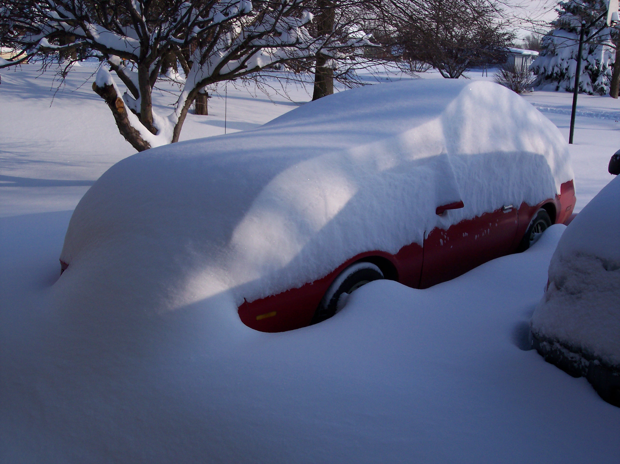
It’s hard to believe that in consistently snowy Boston—where an average of 43.8 inches of the white stuff falls from November through April—total snowfall last winter only amounted to 9.3 inches. That’s less than the 10.5-inch total we recorded during the same time frame—a remarkable feat considering Boston typically receives more than seven times as much snow as Seattle.
Beantown is set to atone big time for last year’s dismal performance, however, with an explosive area of low pressure off the New England coast poised to drop up to 24 inches on the city. That’s some serious snow, even for Boston, where the all-time record for a single snowstorm is 27.5 inches, set Feb. 17-18, 2003. (Surprisingly, Seattle’s 24-hour snowfall record isn’t that much lower—21.5 inches blanketed the city from Feb. 1-2, 1916.)
Back on the home front, snow remains out of the forecast as our relatively mild winter chugs on. (To date, we’ve seen just 0.6 inches of snow—all of which fell at the airport early on Dec. 18.) Partly sunny skies and seasonable temperatures will be the rule of thumb the rest of today and tomorrow, with scattered showers confined to the coast.
On Saturday, a weak warm front scrapes by, generating pockets of light drizzle over Western Washington. The latest models hang most of the moisture up over King and Snohomish counties, with drier—but still cloudy—conditions to the north and south. For Seattle, light rain should begin falling around sunrise, continuing through the morning before winding down late in the afternoon. With overcast skies keeping the sun at bay, high temperatures will only reach the mid 40s.
A few dribs and drabs are also possible early Sunday, but the majority of the day will feature a return to sunshine—although we won’t completely lose the clouds. Still, temperatures should warm back up to near 50 degrees.
Another weak front tries to make it in here on Monday, but with a large ridge of high pressure anchored off the coast, raindrops will be few and far between. Cloudy skies are a good bet, though, as the upper level ridge weakens slightly.
For Tuesday and beyond, the overall weather pattern looks much the same, with high pressure to our west blocking most systems from reaching us. This will continue what’s been a fairly dry start to 2013—through yesterday, Seattle has measured only 4.43 inches since Jan. 1, compared to the norm of 6.37.
Of course, odds are we’ll make up for this deficit somewhere down the road—just look at how Boston’s compensating for its recent shortcomings.
Then again, when you get beat by Seattle in snowfall, pulling out all the stops is a must.


