
The sequel is never as good as the original.
A follow-up blast of wind is headed to Seattle tomorrow, but unlike Saturday, things won’t be nearly as blustery this time around.
Another area of low pressure is forecast to skirt through the region Thursday afternoon, rapidly weakening as it crosses Vancouver Island into the far northern reaches of the state. Because of this, wind speeds tomorrow will be significantly lower than Saturday’s 50 mph gusts—topping out in the 30-35 mph range for most of the Sound.
Granted, if strong winds aren’t your cup of tea, it’s the sequel that will be more enjoyable.
In any case, the next 24 hours will still earn high marks in the active weather department, with tomorrow’s winds also preceded by two decent bursts of rainfall—one later tonight and another one tomorrow morning.
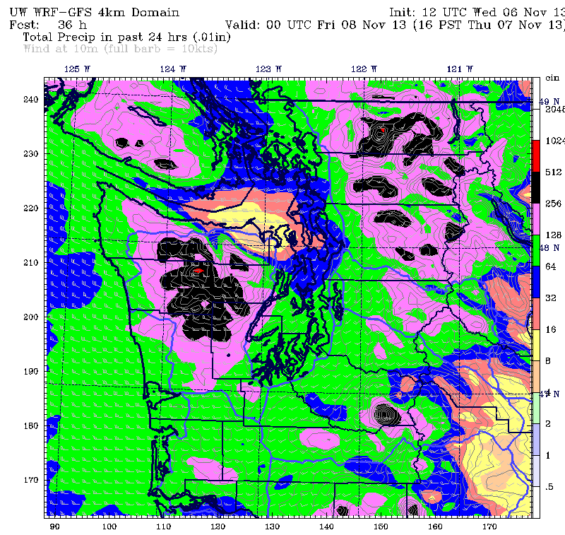
The first slug of moisture, due in around 9 p.m., should drop a quarter-inch of rain across the city—with slightly higher amounts to the south and east. This rain will be associated with a warm front shuffling through—and as a result, temperatures should actually increase a few degrees overnight.
A brief break in the action is possible early tomorrow before a strong cold front roars in from the west, unleashing a half-inch of rain on the metro area during the heart of the morning commute. Ahead of the front, temperatures will stay mild in the mid 50s, slowly dropping to near 50 degrees once the front clears the region around noon.
As the rain tapers off, the winds will begin ramping up, reaching their peak speed in the early afternoon. For the main Seattle-Everett-Tacoma corridor, that means gusts around 30 or 35 mph, with a few of the windier spots along the water maxing out near 40. Conditions will remain blustery through early evening before gradually quieting down as our sequel comes to a close.
The calming trend continues into Friday, with just scattered showers at times, albeit under mostly cloudy skies. Highs will again rise into the mid 50s, with some clearing overnight allowing lows to tumble to near 40 degrees Saturday morning.
Some rain is likely later Saturday as well as Sunday, with temperatures peaking in the low- to mid- 50s both days. While neither one looks like a washout, breaks in the cloudcover will be rare—no big surprise around here.
After all, it’s fall in Seattle—the sequel to our sunniest time of the year.


