
So much for saving the best for last.
February 2013 is wrapping up on anything but a nice note as a stubborn warm front shuffles through the region, making for a soggy finale to the month. Already, .41 inches of rain has dampened the gauge at Sea-Tac Airport since last night—the most moisture we’ve seen in any 24-hour period this month.
The storm has also put to rest any chance this month had at joining the ranks of Seattle’s top five driest Februarys. Through yesterday afternoon, the monthly precipitation total at Sea-Tac stood at just 1.11 inches—which would have been good enough for the third-driest February at the airport had we dodged the raindrops another 30 hours. Since then, however, our rainfall tally has jumped to 1.52 inches—a notch higher than the 1.51 inch-total belonging to February 2009, the number five spot on the list.
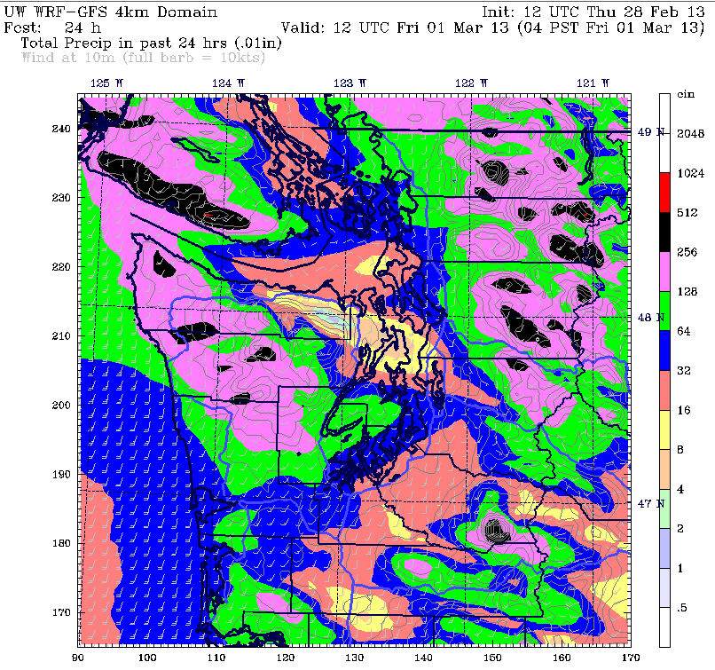
Light-to-moderate rain will continue at times the rest of the day, with the heaviest stuff sliding further north into Skagit and Whatcom counties. Up to an inch of rain could fall here by early Friday as the warm front stalls just to the north of the Canadian border. In the Seattle metro, we’re not expecting too much more this afternoon and tonight—maybe another tenth of an inch or so. Regardless, skies will remain cloudy and drippy throughout.
Milder air will also flood into the region later today as the warm front punches through, raising the mercury into the lower 50s by the time the evening commute rolls around. Temperatures will barely budge even as darkness sets in, making for a noticeably warm night around the Sound.
The balmy weather continues into tomorrow, with readings for the first day of March threatening to top 60 degrees—especially in the South Sound. Should Seattle climb beyond the 50s, it’ll mark the first time that’s happened since Nov. 4, when the mercury hit 64. Since then, the warmest we’ve been is 56 degrees on the 15th of this month.
After an equally mild Saturday—highs will again soar into the upper 50s—a fast-moving cold front races through the region after sunset, sending temperatures tumbling back into the mid 40s. A decent shot of rain will also accompany the front, dumping up to a quarter-inch around Seattle.
Cool, showery weather carries over into Sunday, with highs dipping below the 50-degree mark. We dry out completely on Monday, with partly sunny skies warming us up a few notches, before an upper level low kicks off another round of rainfall Tuesday and Wednesday.
Ideal? Not exactly—but then again, next week is only early March. The best weather should come later in the month, right?
Assuming March doesn’t get any ideas from February.


