
When it rains, it pours.
Except when it doesn’t.
Since our long foggy stretch ended last month, it’s rained on 15 of the past 19 days—yet we hardly have anything to show for it. January rainfall, in fact, came in nearly an inch and a half below normal, with February’s tally so far just .33 inches. That’s an inch less than where we should be at this point of the month, despite the fact that dry skies have been hard to come by most days.
The reason? Lots of light rain—but no significant storms.
Our biggest rainfall since fogmaggedon wrapped up has been a .31-inch splashing on Jan. 28—pretty tame for mid-winter. Since then, no day has recorded even two-tenths of an inch of rain, with most picking up just a smattering of precipitation. To wit, the .13 inches that fell on Feb. 5 currently stands as the month’s highest one-day total.
The light rain theme will continue for the rest of the day today, with occasional showers possible just about anywhere. Amounts will once again be negligible—from a trace to .05 inches. Under cloudy skies, temperatures will peak a little below average, staying in the mid 40s.
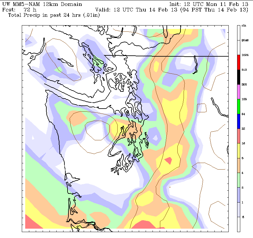
Tomorrow looks much the same, with a slightly higher chance of rainfall late in the day as a weakening front moves through. Beyond that, a somewhat soggier system takes aim at the Northwest Wednesday afternoon—potentially bringing steadier rains back to Seattle. The University of Washington’s WRF model even indicates that up to half inch of rain could fall on the city—although another key weather model, the NAM, predicts far less. In either case, it’ll be cloudy and damp throughout.
Things brighten up a bit once Wednesday’s rainmaker departs, with just scattered showers and a chance for some sunbreaks on Thursday. Highs should ease back into the upper 40s, cracking the 50-degree mark by Friday as partly sunny skies resume.
Lo and behold, the nice weather retreats just as the weekend begins, with an upper level low dropping into the region on Saturday. This will send temperatures tumbling back into the mid 40s amid another shot of rain.
A relatively light rain, mind you. Because this February in Seattle, when it rains, it drizzles.


