What’s a little light rain after a month of endless downpours?
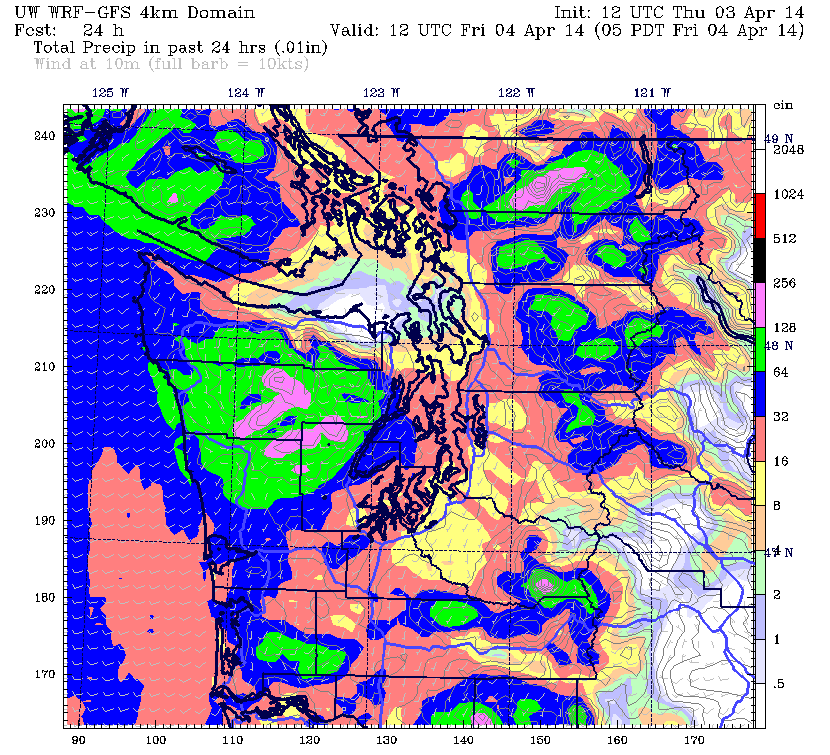
Showers are moving into the region this afternoon as a cold front stumbles ashore, moistening the skies over Seattle after a much-appreciated break from the rain. Unlike the deluges of March, however, this system won’t offer much in the way of precipitation, with amounts topping out at a quarter-inch or less the rest of today.
The front slides east overnight, cutting off the rain and allowing temperatures to sink into the mid 40s by tomorrow morning. Friday should get going under a blend of clouds and sun, with the mercury slowly trudging past 50 degrees.

Isolated showers dot the Sound during the afternoon hours tomorrow, with the greatest risk north of Seattle, where a Convergence Zone could take shape. By late Friday night, rain chances dwindle region-wide, with partial clearing and temperatures dipping to the 40s.
After a calm, dry start to Saturday, another front crosses the coast during the afternoon, spreading in more light rain from west to east. Totals this time around should run slightly higher—a third of an inch or so for Seattle and points south. Still, compared to March, it’ll be nothing worth writing home about.
Dribs and drabs linger into Sunday, making for a cloudy, showery day. At the least, highs should rebound a tad, reaching the mid 50s later in the afternoon.
We dry out in a hurry Sunday night as a strong ridge of high pressure pops up from the south, clearing out the clouds and making for a sunny Monday. With warm spring air trickling northward, Seattle could hit the mid 60s—rivaling March 24 (66 degrees) for warmest day of the year.
High pressure slips away from us on Tuesday as a weak front approaches, but the day should still trend partly sunny and warm, with readings once again leveling off near 65. If we can hang on to the ridge a little while longer, 70 degrees is not out of the question—but for now, it looks like we’ll just equal Monday’s warmth, if not run slightly cooler.
Showers swing through Tuesday night into next Wednesday, knocking highs back into the 50s amid overcast skies. From there, dry conditions look to return again as spring makes itself known in Western Washington.
About time, huh?


