
Out with the new, in with the old.
It’s back to classic Northwest spring weather this week, after a rare early May warm spell brought a hat trick of 80-degree days to Seattle while keeping the rain gauge dry for the first 11 days of the month. With precipitation finally falling in Seattle early this morning, the streak goes into the books as the city’s second-driest start to May on record, outdone only by May 1-23, 1946.
Also in danger of ending soon is our stretch of above-normal temperatures—so far this month, the mercury has surpassed the average high every day. In most cases, too, it hasn’t even been close—like yesterday’s peak reading of 81 degrees, which was 17 above the norm for this time of year. With our first cold front since April limping through the area today, though, temperatures have already tumbled into the lower 60s—and we can’t count on much sun to bail us out this time. Highs should only climb a few degrees into the mid 60s—barely warmer than normal.
Hit-and-miss showers will also threaten the region the rest of Mother’s Day, but for most spots, it’ll be more miss than hit as the bulk of the rain stays to our north. Overnight, temperatures will sink into the lower 50s—still a bit warmer than normal, thanks to the cloudcover.
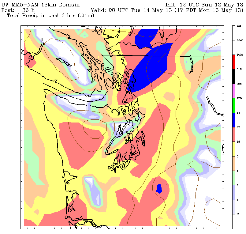
Another round of rain rolls into the Sound to jump-start tomorrow, with much cooler air knocking temperatures back into the upper 50s for most of the day. This should make for the first truly chilly day of the month, assuming our warmer-than-normal streak can hang on through today. Thunderstorms are also possible Monday afternoon as a cold upper level low blasts by overhead. Any storms could pummel the city with very heavy rain, along with some hail. In addition, the winds will really get cranking just before rush hour, gusting above 30 mph.
We calm down considerably on Tuesday, with just a smattering of leftover moisture keeping isolated showers going in the mountains. Elsewhere, it should be dry from start to finish, with a few sunbreaks here and there. Highs will remain stuck in the lower 60s.
The cool weather holds over into Wednesday as another front shuffles through during the second half of the day. Light showers are likely Wednesday night, with another shot of rain arriving on Thursday. Amounts shouldn’t be too impressive—maybe a quarter-inch or so—but it’ll be enough to make you wish away the old.
And bring back the new.


