
July was averse to the rain.
August, at least so far, is willing to give it a chance.
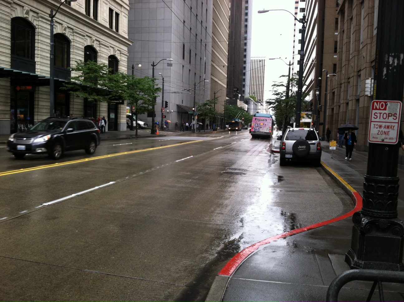
After a five-week hiatus from wet weather that spanned all of July, 0.05 inches of rain has fallen so far today—halting Seattle’s dry streak at 35 days. That’s just shy of the cutoff for a top-ten dry spell in the city (37 days), but well short of the all-time mark of 51.
Light rain will gradually come to end in the next few hours as an area of low pressure shuffles east, dragging the showers with it. With cloudy skies region-wide, however, temperatures will remain stuck in the lower 60s—some 15 degrees cooler than normal.
The clouds hang tight into Saturday morning, but we’ll see an uptick in sunshine by the afternoon as the upper level low responsible for the recent gloom scoots into the Rockies. By early evening, temperatures should recover to the mid 70s with enough blue sky overhead to call it partly sunny.
Things really clear out on Sunday as high pressure noses in, warming us back to near 80 degrees. With the average high for early August 77 degrees, Sunday should be Seattle’s first warmer-than-normal day in over a week—we last topped the mid 70s on July 27.
Temperatures nudge into the low 80s on Monday, thanks to minimal morning clouds and a boatload of afternoon sunshine. Tuesday looks no different, with sunny skies and highs hovering around 80 degrees. Even better, a peek ahead at the extended models indicates we’ll likely stay dry through all of next week.
Hmmm—maybe August isn’t so cool with the rain after all?


