
The clouds will thicken in earnest tonight as we head into the overnight hours, as another weak front approaches the coast. Light rain is likely tomorrow, but amounts will be far from impressive–no more than a tenth of an inch for most places around Western Washington.
Additionally, after failing to meet the average high for the day during the first seven days of November (the streak ended today with a high of 55!), temperatures in Seattle tomorrow will range some five degrees above average, as highs approach the upper 50s.
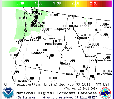 |
| Projected rainfall amounts tomorrow, 10 a.m. to 4 p.m. |
We’ll dry out and warm up a degree or two for Thursday (possibly making a run at 60 degrees), before the rain returns Friday night. Right now, the coming weekend is still looking relatively stormy, with a solid rain event during the day on Saturday, along with breezy winds that could result in the first Wind Advisory for parts of Western Washington since late September.
The snowpack will also begin to build in the mountains, as snow levels plummet below 2,500 feet. According to the National Weather Service, the snow that falls in the mountains this weekend is likely to remain on the ground until springtime.
La Nina has returned!


