
The faucet has been shut off.
After four consecutive drippy days, Mother Nature has graciously pulled the plug on any shower activity for the next 24 hours, instead promising partly sunny skies by the afternoon. Even more, temperatures are forecast to rise into the lower to mid 50s—possibly making today Seattle’s warmest in over two months.
We really should do this no-precipitation thing more often, huh?
Gray skies over Puget Sound this morning will fade around lunchtime, giving the region its first glimpse of sunshine since last Sunday. Just like then, today’s appearance will be fleeting—clouds ahead of tomorrow’s cold front will put an end to the clearing tonight—but for a city that’s spent the first half of February in a perpetual mist, any amount of sun will feel spectacular nonetheless.
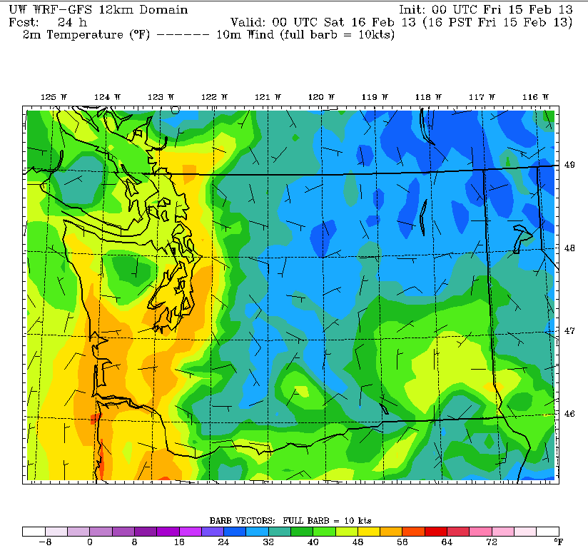
As for those temperatures? The most recent models indicate the mercury could spike close to 55 degrees—probably settling at 53 or 54. A high of 54 or greater would be our balmiest since a 56-degree reading the first day of December—whereas a max of 53 would put today in a three-way tie with Jan. 8 and Feb. 1 for the warmest temperature recorded so far in 2013.
Unfortunately, our foray into enjoyable weather ends abruptly tomorrow morning as a cold front swings through. Like all of its February predecessors, it won’t be anything special—if we’re lucky, we might squeeze out .20 inches or so—but it will lead to another cloudy, cool day. Temperatures will dip back into the upper 40s by noontime, remaining there the rest of the day. In addition, a Puget Sound Convergence Zone is likely to the north and east of Seattle, keeping light showers going through the afternoon.
We catch another break on Sunday, with morning clouds and fog giving way to at least partial sun later in the day. It’ll stay on the chilly side, however, with temperatures again falling shy of 50 degrees—the average high for the date.
Another reinforcing shot of cool air arrives mid-day Monday, as a large upper level low descends on us from the northwest. Temperatures will stay in the mid 40s, with more light rain likely by the afternoon.
The weather stays on the cool side Tuesday and Wednesday, but with most of the moisture slipping by to our south, we won’t see much in the way of widespread rain—just occasional showers from time to time.
Did someone say drip, drip?


