
Another Thursday, another deluge.
And this one has the potential to be much worse than last week’s.
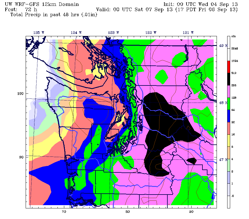
A potent area of low pressure will blast through the region on a southwest-to-northeast track tomorrow, triggering strong thunderstorms and heavy rainfall as it marches from the beaches of southwest Oregon to the deserts of Eastern Washington. 1 to 2 inches of rain is possible across the entire Seattle metro area from noon tomorrow through late Friday afternoon—an amount that would blow last Thursday’s 0.76-inch soaking out of the water.
The action gets underway late tomorrow morning as the area of low pressure, located in the upper atmosphere, approaches the south Oregon coast. As it does, the upper level winds will flip to the southeast, dragging warmer, unstable air up the spine of the Cascades and into Western Washington. This should spark a round of afternoon thunderstorms across all of Puget Sound, complete with driving rain and wind.
As the low barrels northward into Washington tomorrow night, the thunder and lightning should die down, but the rain won’t be going quietly into the night. Instead, moderate to heavy rain will increase in intensity as darkness sets in, lashing the Sound from late Thursday through early Friday. This, coupled with the anticipated downpours tomorrow afternoon, has led the National Weather Service to issue a flood watch for the entire I-5 corridor from noon tomorrow through 6 p.m. Friday. Minor urban flooding is possible during this time frame.
With the expected drenching, Seattle is almost certain to obliterate the daily rainfall record for tomorrow—a measly 0.36 inches from 1984. Friday’s mark of 0.93 inches, while substantially higher, is also in danger. Of even greater interest is the September monthly average of 1.50 inches. If current weather models are correct, Seattle stands a decent chance of recording an entire month’s worth of rain in just two days.
The storm will slowly taper off as the low pulls further east on Friday, leaving plenty of clouds behind. Highs will struggle to reach 70 degrees under the drippy, overcast skies.
Fortunately, high pressure builds in quickly over the weekend as we go from partly cloudy and the low 70s on Saturday to mostly sunny and near 80 by Sunday. Sunny, warm weather then looks to hold through much of next week.
Things have to get worse before they get better anyway, right?


I can’t sleep because of the thunder and lighting. The thunder is rattling my house and the lightning is blasting in my room! Yikes! I’m in bellevue.
It’s certainly a crazy night out there–and the worst is yet to come! Multiple lines of thunderstorms are streaming in from the Cascades.