
The bar is about to be raised.
Expectations for rainfall have been astonishingly low this month, with anything over a tenth of an inch practically warranting front page news. Of course, that’s to be expected when your wettest February day so far has only managed .13 inches—and your month-to-date tally stands at a meager 0.51 inches. (Typically, Seattle receives 2.29 inches over the first 18 days of February.)
Fortunately, we’ll return to our normal lofty standards on Friday with the arrival of a powerful cold front bent on delivering some significant rainfall to the area—to the tune of a half-inch or more. Punctuated by strong, gusty winds, this should make for our first real winter storm since a 1.51-inch drubbing on Jan. 9.
In the interim, it’s more of the same for the Seattle area, with the next in a series of weak systems bringing spotty drizzle tomorrow afternoon and evening. Most places won’t get any measurable precipitation from this, continuing our recent stretch of recording only trace amounts of rainfall with each passing front. To wit, the past three days in Seattle—Saturday, Sunday and Monday—all featured just a trace.
On Thursday, a slightly damper system brushes by during the second part of the day, giving the region another dose of the February 2013 standard: cloudy skies and light rain. We’ll collect about .10 inches in the city from this latest underperformer.
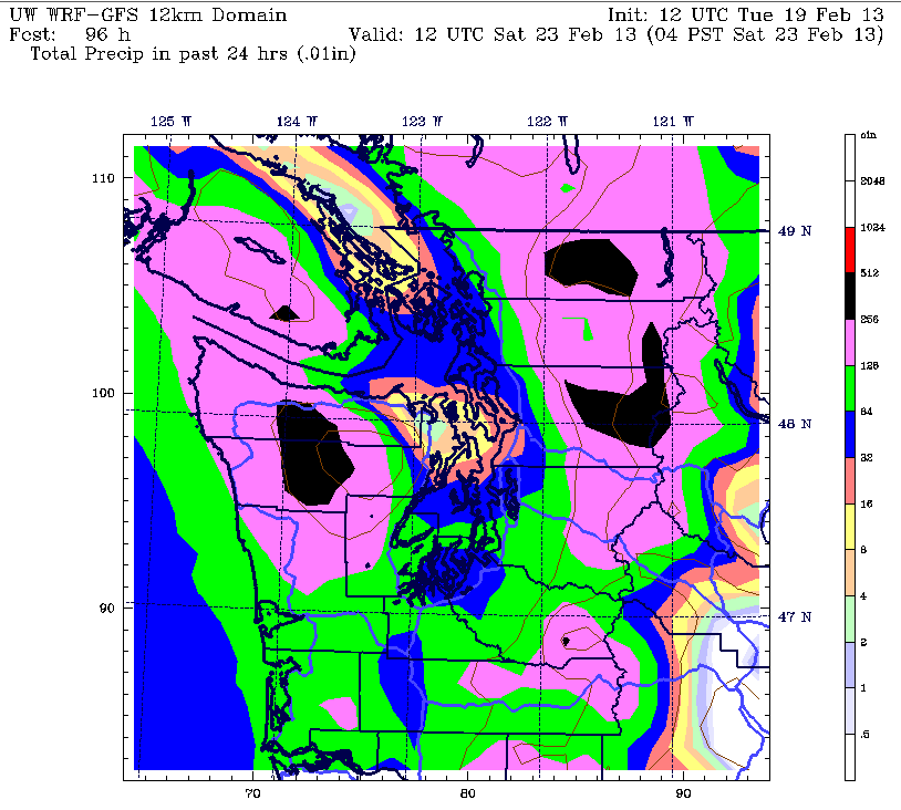
Then comes Friday. As the cold front approaches from the northwest, rain should slowly pick up in intensity during the mid-morning hours, becoming heaviest right around lunchtime as the front barrels through. Blustery winds out of the south will also begin howling by sunrise, gusting to 40 mph throughout the Sound before tapering off later in the day. When all is said and done, Seattle should see upward of half an inch of rain, with totals approaching an inch further south—enough to raise the bar on February rainfall several notches.
Behind the front, temperatures will drop into the lower 40s—down from the 50-degree weather we’ll experience the next few days. The cool weather, reinforced by an upper level low diving into the area early on Saturday, will limit high temperatures to 45 degrees during the coming weekend.
Leftover showers will also graze the area on Saturday, before another round of rainfall arrives Sunday. Right now, this system doesn’t look too wet—still soggier than most of our recent rain events, but not on the same level as Friday’s predicted dousing. A similar ho-hum front limps through the region on Monday, before drier weather makes a comeback next Tuesday.
Suffice it to say, after Friday, we won’t be lifting the bar again anytime soon.


