Don’t let the headline deceive you–our December dry spell is not over quite yet–but rain will return to the Sound during the latter half of the upcoming weekend.
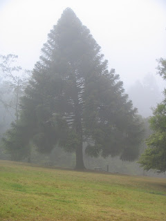
Until then, the weather pattern will be remarkably similar to what it’s been every day for the past ten days–foggy and cold in the morning, with localized clearing in the afternoon.
This time around, locations closer to the foothills–North Bend, Snoqualmie, even Issaquah–have a greater chance than the rest of us in seeing some of that “wild blue yonder,” due to easterly winds coming down the Cascades. These winds, known as “downsloping” winds, cause the air mass to warm up and dry out as the winds reach the bottom of the mountains and spread out to the west. Because of this, high temperatures in our foothill locales are likely to reach the upper 40s under sunny skies tomorrow, as opposed to the low 40s and clouds the rest of the metro area will be stuck under once more.
Then comes Saturday, and with it, our biggest rain event so far this month–or, in other words, at least .02″ (our wettest December day so far is the 2nd, with .01″)! Saturday’s rainmaker actually won’t be anything special at all–maybe we’ll get .30″ or so in the rain gauge–but at this point, all us rain-deprived Seattleites will take what we can get, right?
The rain on Saturday will begin late, most likely after sunset, and continue into the early morning hours on Sunday, before tapering off mid-day. Monday promises to be dry and foggy yet again, but fear not! Forecast models are coming into better agreement that a much stronger system will impact Western Washington Tuesday night and Wednesday, serving us up a healthy offering of the steady rain-and-wind diet that we’ve been lacking since Thanksgiving.
Better enjoy the dry days while they last!


