
Gusty winds and pelting rain—what is this, February?
Oh wait…
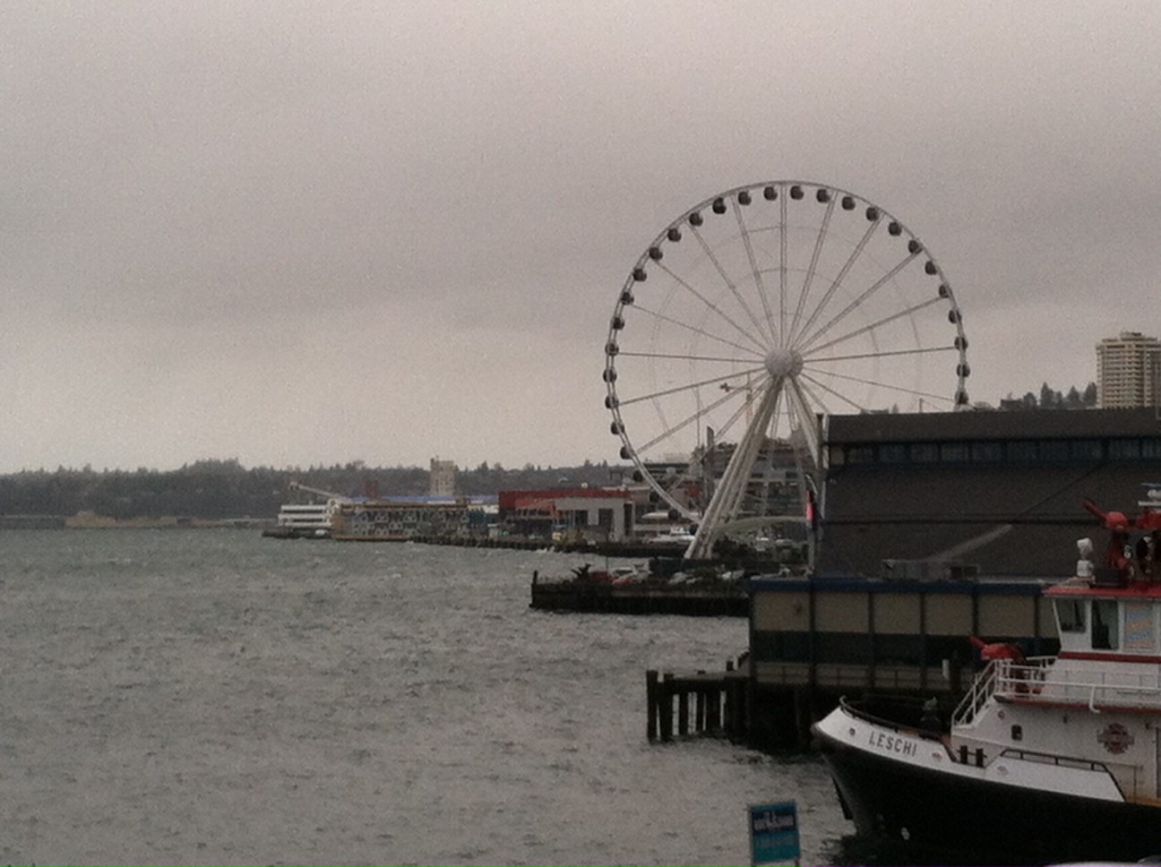
After three weeks of spotty drizzle, calm breezes and all-around tame weather, February finally got a clue, driving a classic late-winter storm through Western Washington earlier today. Highlighted by the arrival of a strong cold front, which plowed through the region shortly after the noon hour, the storm dumped .37 inches of rain on Seattle—the most in the city since early January.
Blustery winds also buffeted the region, with the strongest gusts over Puget Sound occurring in the afternoon and early evening. Sea-Tac saw a peak gust of 40 mph around 5:30 p.m., with Everett clocking in at 46 at 1 p.m. It was even windier further north, with Whidbey Island recording a gust to 51 just before 5 o’clock.
With the cold front now past the metro area—and currently dropping snow in the passes—the weather will calm down considerably as we head into the evening hours. Most places will see just scattered showers, with wind speeds finally dropping below 30 mph.
The one exception to all this is up in Skagit and Snohomish counties, where a Puget Sound Convergence Zone is already underway. Moderate rainfall is likely here through the overnight hours, especially east of I-5 in places like Arlington, Snohomish and Lake Stevens. The area did dodge most of this morning’s rains, thanks to shadowing from the Olympic Mountains—so it’s not like they’re going through the wringer twice. Some might even say it’s payback for sitting on the sidelines while the rest of the region was taking a beating.
The Convergence Zone will linger into Saturday morning, possibly eking out some moisture over the Seattle area as it slips southeast and fizzles. Any rain should be done by the second part of the day, but skies will stay cloudy throughout. Similar to the past few days, temperatures will fail to rise out of the mid 40s—several degrees below our typical high of 51.
February briefly reverts to its tranquil past on Sunday, with just a few light rain showers roaming about in the afternoon. By Monday morning, however, another cold front is forecast to race across the Sound—and this one should have some teeth to it as well. Early indications are for as much as half an inch of rain to douse the city, with even higher totals on the Eastside.
Another sign that, after being asleep at the wheel for weeks, February’s finally getting its act together.


