

Look who finally decided to show up for work.
Welcome back, December. You’re only late by two weeks and some change.
Continuing a trend that began in November, rainfall has been less than impressive so far this month, with just 1.46 inches in the bucket. That’s roughly half the norm for the first half of December—but for rain-starved Seattleites, there’s no need to worry.
Because the other shoe is about to drop.
A large area of low pressure over the Pacific will steer a series of soggy systems (how’s that for a tongue-twister) into the region beginning tomorrow afternoon, quickly flipping our dry December to a much more water-logged state.
How much rain could fall?
Between Wednesday afternoon and Saturday afternoon, the Seattle metro is likely to see a total of 2.5 to 4 inches of rain—with higher totals from the King-Snohomish county line southward. Rainfall in Seattle proper may exceed 3 inches total by Saturday morning.
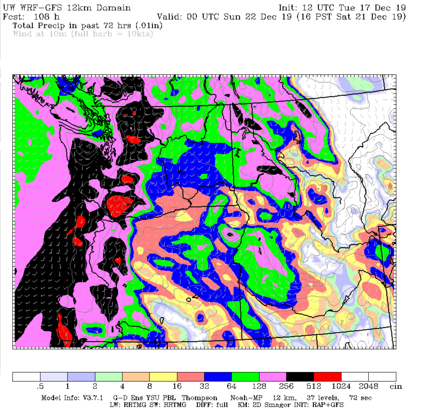
At Sea-Tac Airport—where the official weather data for the city is kept—totals will probably approach 4 inches, due to less shadowing from the Olympic Mountains. From Snohomish County northward, the Olympic rain shadow should cut into totals a bit—especially north and west of Everett. However, well over 2 inches of rain is still likely in these spots.
Is this unusual for December?
Not really. Rather, the lack of heavy rain so far this fall—and in 2019 overall—is what’s atypical. So far this year, Seattle has recorded only one day with 1 inch of precipitation or more. An average year sees five or six.
It’s also interesting to note that on the one day that did receive more than 1 inch of precipitation—Feb. 11 (1.22 inches)—most of what fell from the sky was snow, not rain. Somewhat startlingly, the last time more than an inch of precipitation fell from the sky in liquid form was Nov. 27, 2018. You know, back when the viaduct was a thing.
What about the mountains?
After a pitiful start to the season, ski resorts in the Cascades are getting the ultimate early Christmas present: gobs of snow.
Light snow on Wednesday will become heavy by Thursday, with over 3 feet of snow likely at Stevens Pass by Thursday night—and up to 5 feet by early Saturday. Snoqualmie Pass should pick up close to 2 feet of snow before warmer air floods in late Thursday, making for a cold rain (or a messy rain/snow mix) by Friday. Needless to say, travel in the passes will become downright treacherous by Thursday.
Christmas: Wet or white?
Likely neither. Long-range models predict that after this week’s deluge, we’ll dry out rapidly by Sunday, with cool, partly sunny weather settling in for the holiday week. This would likely spell chilly, frosty mornings and nights for both Christmas Eve and Christmas—so Santa may need to be extra cautious on the roof this year. The risk of frozen precipitation, however, is next to none.
Stay dry out there!


