
Summer starts when?
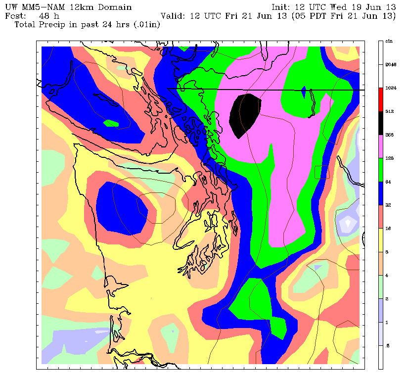
A juicy system is set to soak northern parts of Western Washington tomorrow morning before rolling into Seattle during the evening hours—just as spring prepares to hand over the reins to summer. While the city will be spared the heavy showers that look to drench the Mount Vernon–to–Bellingham corridor, we’ll still have no trouble notching our biggest rain event of the month, with up to a quarter-inch expected.
Welcome to Seattle, summer. Don’t let the door hit you on the way in.
Admittedly, we’ve been spoiled pretty good recently, with the month logging just 0.06 inches of rain so far—a miniscule amount that would actually make for Sea-Tac’s driest June on record, if only the month ended at midnight. In addition, the mercury has failed to reach the normal daily high just twice—on June 11 and 14, when we shivered at a brisk 68 degrees. Sweaters, anyone?
Still, rain at the dawn of summer is a tough pill to swallow—and it won’t get much better on Friday, with plenty of leftover showers contributing to a day-long cloud cover. Temperatures, at least, will return to the upper 60s—several degrees warmer than the 63-degree high anticipated tomorrow.
The clouds part to some degree on Saturday, warming us back into the low 70s as the upper level low responsible for this mess finally meanders into the Northern Rockies. Plan on partly sunny skies by afternoon time, with the warmest readings from Seattle south.
Unfortunately, we take a step backward on Sunday as an impressive cold front closes in on us, steering clouds into the region during the morning hours, and a steady rain by the afternoon. Highs will cool below 70 degrees with area rain gauges collecting another quarter-inch.
By early next week, low pressure will become entrenched in the eastern Pacific, directing a series of rainmakers into the Northwest. The soggy pattern should persist for several days, leading to periods of rain accompanied by below average temperatures and above average griping.
Wanna make friends around here, summer?
Start acting like the warm, sunny bundle of joy you’re supposed to be.


Yep last day of spring… some rain, and a 7 car pile up on 405 at 5:10am, those are the folks that do not have any business living in the NW, why? They do not know how to drive in the NW as the first rain in a while comes, so the oil and slick roads happen, and they left their brains at home. Go back to where you came from leave the NW, to the professionals I was born here in 1962! So I know! You transplants do not! Get out!