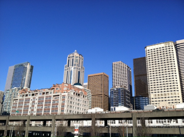
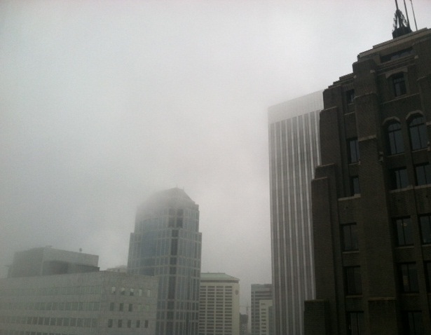
Yet another relatively bland week of weather is on tap for Seattle, as a ridge of high pressure will set up shop over the Pacific Northwest come Tuesday, leading to several days of morning fog and afternoon sunshine.
The most active day of the week will actually be tomorrow, with .25″ of rain or so possible for most of the metro area in the earlier part of the day. By tomorrow night, showers will come to an end as high pressure moves towards us, cutting off our precipitation chances for the rest of the week. Temperatures, which will be quite mild tonight and Monday (highs around 50, overnight lows only a couple of degrees cooler), will also nosedive into the lower- to-mid 40s as the night and morning fog sets in mid-week.
 |
| More fog is on the way for Seattle this week |
The upcoming pattern looks somewhat similar to what we experienced during the first half of December– dry and cool with patchy fog in places. The lack of precipitation, coupled with the absence of wind, will make the second week of January more bland than the first (where we did at least see .80″ of rain on Wednesday and breezy conditions on several other days).
Fortunately, however, it does not look like this pattern will be with us for too long. There’s still a great deal of uncertainty in the forecasts for the coming weekend, but it does look like Western Washington could see some moderate rain and fairly low snow levels, should things pan out. A couple models even hint at a minor arctic air intrusion of sorts a week from now.
At this point, I think all active weather lovers out there will take anything–even if it’s just a skiff of lowland snow in spots–over the mundane weather pattern that has dominated our area for most of the fall and winter!


