The beat goes on.
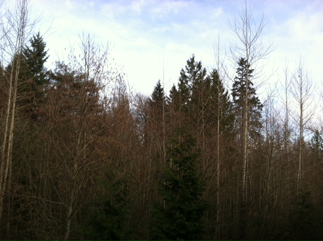
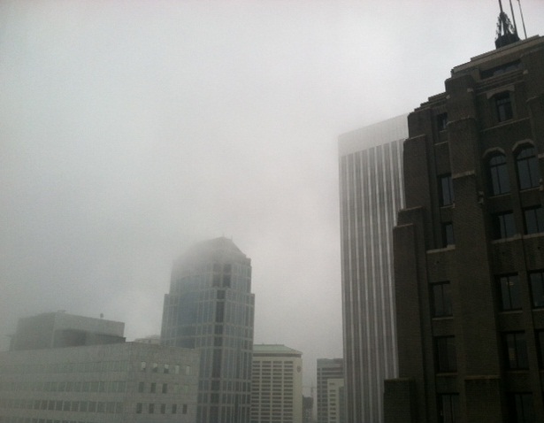
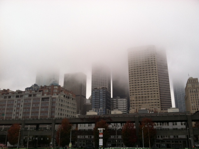
Sun and fog will continue to dominate the weather pattern over Western Washington into early next week, with rain out of the question until Tuesday. Par the course, blame for the ongoing tranquil weather lies with our stubborn friend, the unyielding ridge of high pressure—parked in the area more or less from October onward.
Since the ridge’s early fall arrival, it’s been uncannily dry around here—Seattle has received less than half the average rainfall in the past three-plus months. Just 9.40 inches have landed in the gauge at Sea-Tac Airport since Oct. 1, compared to the norm of nearly 20 inches.
Although we saw a return to wet weather for a few days earlier this month—Seahawks-Saints game anyone?—it’s been just about bone dry ever since, with high pressure once again taking up residence nearby. A meager 0.02 inches of rain yesterday ruined our shot at the all-time January record for consecutive dry days, though—had the airport missed out, we’d be well on our way to tying or setting a new mark.

Instead, it’s back to square one with our dry streak—and today will certainly go into the books rain-free. With light northerly winds holding back the clouds, we’ll see clear conditions continuing through tonight as temperatures drop off into the lower 40s.
Scattered clouds dot the horizon tomorrow morning, vanishing by lunchtime as the sun pokes through. Temperatures will spring back to the 50-degree mark in the afternoon under a renewed light breeze.
The wind dies off on Saturday, bringing back a heavier round of morning fog. Still, some clearing is likely later in the day, with highs running a tad cooler—mid 40s instead of 50. The same holds true for Sunday and Monday, with gray skies giving way to a little sunshine in the afternoons.
The clouds thicken up for good on Tuesday as a weak system spins toward us, shoving the ridge aside and bringing a smattering of rain to the metro area. Amounts will be on the small side, with most spots collecting a tenth of an inch. Another burst of light rain then moves through on Wednesday, with temperatures staying seasonable in the mid 40s.
Looking further ahead, somewhat soggier systems are likely to close out next week, as the ridge of high pressure finally takes a hiatus from the region. Whether or not it will ultimately return to the Northwest, as it’s done so many times already this winter, is anyone’s guess—but at the least, we should squeeze out some meaningful rainfall to start off February.
That, and have a different beat to march along to.


