
Some of our winters are known for snow. Others are better remembered for rain or wind. And then there’s the winter of 2012-13, which appears destined to go down as the winter of fog.
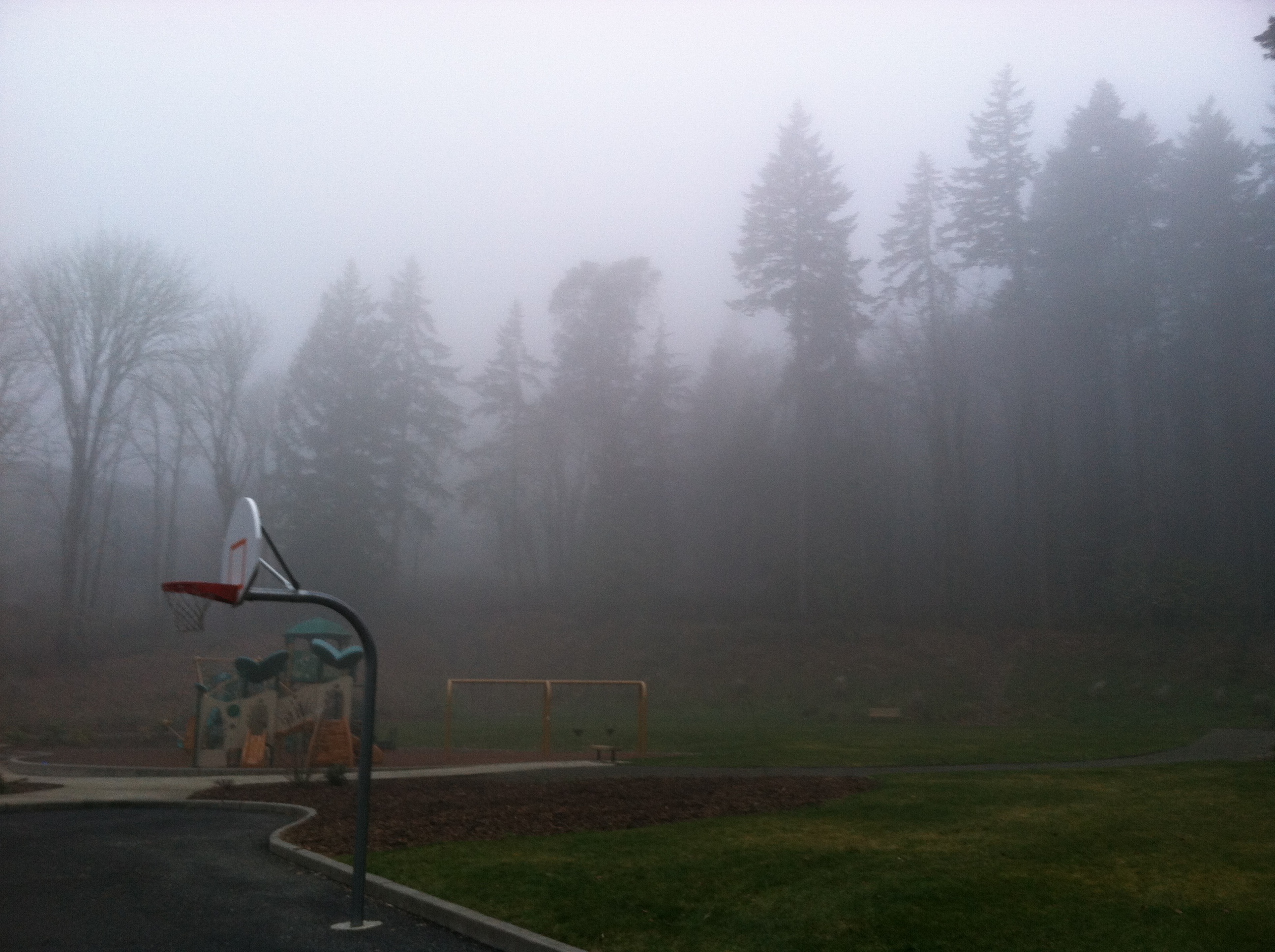
For the umpteenth time in the past month, dense fog blanketed the Seattle area yesterday, ruining what otherwise would have been a sunny, mild Saturday. Shrouded in low clouds from start to finish, the mercury at Sea-Tac Airport didn’t make it past 43 degrees—six below the normal high for the day, and a dozen shy of the expected 55-degree mark.
The heavy fog—at Sea-Tac, it was the 12th time since Jan. 10 that visibility dropped to a quarter-mile or less—actually gave way to sunshine outside the Puget Sound region, with Portland going from 39 and foggy at 11 a.m. to 55 and crystal clear skies by 3. To our north, Bellingham reached 50 degrees by mid-afternoon, and out along the coast in Hoquaim—where it stayed fog-free all day—the mercury made it to 54.
Only from Everett to Tacoma did the sun refuse to make an appearance—and unfortunately, it’ll be several more days before we get another shot. A front currently moving into B.C. will keep the skies over Puget Sound cloudy for the balance of today, with drizzle possible at times. Temperatures will remain stuck in the mid 40s.
The clouds hang tight into tomorrow as well, but with rainfall focused north of the border, it’ll at least stay dry. We’ll also warm up a notch or two, topping out in the low 50s.
A cold front zips into the region early on Tuesday, making for widespread rainfall across the Sound. While Seattle won’t see anything too heavy, we should pick up a solid third of an inch or so—the biggest rain event of the week. Amounts will taper off north of the city, thanks to the Olympic rain shadow, while honing in on half an inch to the south and east.
Behind the front, a second system reaches the area on Wednesday, touching off another round of rainfall during the day. Totals then shouldn’t be as much as on Tuesday—perhaps .25 inches or so. We’ll also cool down a notch, with maximum temperatures falling back into the upper 40s.
More rain approaches the West Coast on Thursday, but right now, the bulk of the moisture looks to stay south of us, leaving Seattle largely cool and dry. It’s possible the sun could even come out of hiding later in the week—that is, if there isn’t any fog lurking around.
Considering our track record this winter, that’s probably too much to ask.


