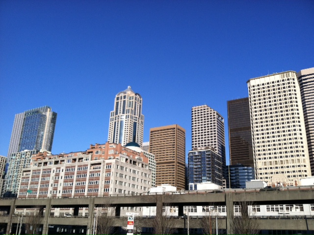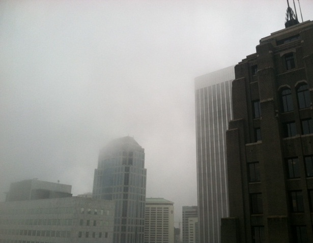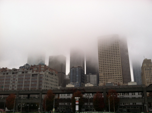
Welcome to the battle in Seattle, weather edition.
Fog and sunshine will duke it out on a daily basis for the rest of the week, with each seeking to lay claim to the skies over Western Washington. With a blowout victory by one or the other unlikely, wins and losses will be measured on a smaller scale, highly dependent on where in the metro area you happen to be.
Take, for instance, downtown Seattle. Snuggled up next to the giant body of water that is Puget Sound, at an elevation of just 150 feet, fog and low clouds are likely to be more persistent here—with the sun struggling to break through. On the other hand, Sammamish, situated 500 feet above sea level and much further removed from the water, stands a decent chance of enjoying sunnier skies and warmer temperatures through week’s end.

And then there’s the mountains. With a classic temperature inversion setting up—cooler air at the surface, warmer air above—the toastiest conditions will be on the slopes, with high temperatures approaching the mid 50s tomorrow and Friday at places like Mt. Baker and Snoqualmie Pass. Unfortunately, this isn’t the greatest news for ski resorts, which have struggled to maintain a quality snowpack in an increasingly dry winter.
The culprit, as always, is the never-ending ridge of high pressure that continues to take up residence off our coastline. With the ridge once again perched nearby, precipitation will be a no-go the next few days—the closest rainfall to us will be up in Alaska.
Locked instead in the sparring between sun and fog, we’ll see peeks of blue and plenty of gray as daytime temperatures dance between the mid 40s and lower 50s. Temperatures will be chillier during the nights, dropping into the mid 30s now through early Saturday.
The dueling pauses as the weekend begins, with the ridge of high pressure weakening enough to allow a few showers to scrape the coast. Rain could possibly make it as far inland as Olympia later Saturday, but the Seattle area should stay dry. Highs will max out in the upper 40s.
Spotty showers linger to our west on Sunday, with plenty of clouds—but no rain—over Puget Sound. By mid-afternoon, when the Seahawks and 49ers kick off at CenturyLink Field, the mercury should be nearing 50 degrees. High pressure then builds back into the area on Monday, returning us to the same old: fog, sun and more squabbling between the two.
If only Mother Nature would send in some rain to break things up for good.


polar vortex is coming!
To the Midwest and East Coast, yet again!