

Another winter, another foot of snow?
Mired in what will go down as one of the driest starts to November in Seattle history, it may seem like a strange time to chime in with a winter forecast—after all, it hasn’t felt very winter-like of late. But, oddly enough, the weather pattern responsible for bringing the city days on end of dry, sunny weather is the same pattern that could whiten Seattle with snow—if it were to shift west 500 miles or so.
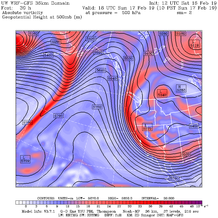
Just like it did in February 2019.
While a repeat of last February’s historic snowfall is unlikely this winter—for the simple reason that 20 inches of snow in any winter in Seattle is unlikely—the recurrence of what’s known in weather-geek speak as high-latitude blocking appears to be stacking the deck toward a snowier-than-average winter.
2019: The year of the block?
In an atmospheric blocking pattern, a large ridge of high pressure sets up shop anywhere from the Gulf of Alaska to the West Coast, effectively blocking the jet stream from steering weather systems across the country in west-to-east fashion. To get around this atmospheric block, systems are detoured to the north, where they pick up lots of cold Canadian air, before barreling southward into the U.S.
You can guess what comes next for whatever city lies in its path: A blast of arctic air, and plenty of snow chances. For Seattle, the farther offshore the ridge of high pressure is, the closer the frigid air is—and the higher the snow odds.
Right now, the ridge of high pressure is centered just off the West Coast, which is allowing cold air to spill into the Midwest instead. But move that high pressure farther west over the Pacific, and all the cold and snow would take dead aim at the Northwest.
This has already happened on three separate occasions since late September. Each time this has occurred, it’s been too early in the season for Seattle to see flakes—although we did get quite cold at times, even logging our chilliest October morning in 13 years this past Halloween. The story has been much more extreme on the other side of the state, however, with Spokane enduring its all-time coldest, and third-snowiest, October on record.
Looking to the past for clues: 2003-04 under the microscope
If this pattern continues into the heart of winter, it’s hard not to envision a scenario where the ridge shifts farther west again, allowing arctic air to invade the Seattle metro. As KOMO meteorologist Scott Sistek recently pointed out, there’s some evidence that stubborn weather patterns like this occur more often in ENSO-neutral years—winters where neither El Nino or La Nina conditions are present.
For a better idea on how the upcoming winter may unfold, it’s helpful to look back at past winters with similar ENSO states. Interestingly enough, another recent ENSO-neutral winter was the winter of 2003-04. That winter, which followed on the heels of an El Nino winter (just like last winter), delivered a major snowstorm to Seattle in early January, as well as several days of significant cold starting in late December. Want to guess what happened earlier that fall?
Record late-October cold—just like this year—as a blocking pattern took root over the Eastern Pacific (thanks to Mark Nelsen at FOX 12 in Portland for the graphic). November 2003 then started off uncharacteristically dry, with almost no rain in the first two weeks. Sound familiar?
Oh, and last but not least, October 2003 brought record rains to parts of Western Washington, not too unlike this past October.
This isn’t to say the coming winter will follow the same script—just like no two snowflakes are alike, neither are two winters. But the similarities are (so far) fairly intriguing.
Our winter forecast
Based on all of the above, our forecast for the winter of 2019-20 is:
- 10 to 12 inches of snow in Seattle (average winter snowfall is 5.9 inches).
- A significant cold spell in December or January.
- Less rain than normal, due to the likelihood of a continued blocking pattern.
Get that winter gear ready!


[…] snowier than usual, with 10 to 12 inches expected on average (which is usually around 5.9 inches), according to the Seattle Weather Blog. There is also an expectation of a significant cold spell in December or January, and less rain […]