
What goes up must come down.
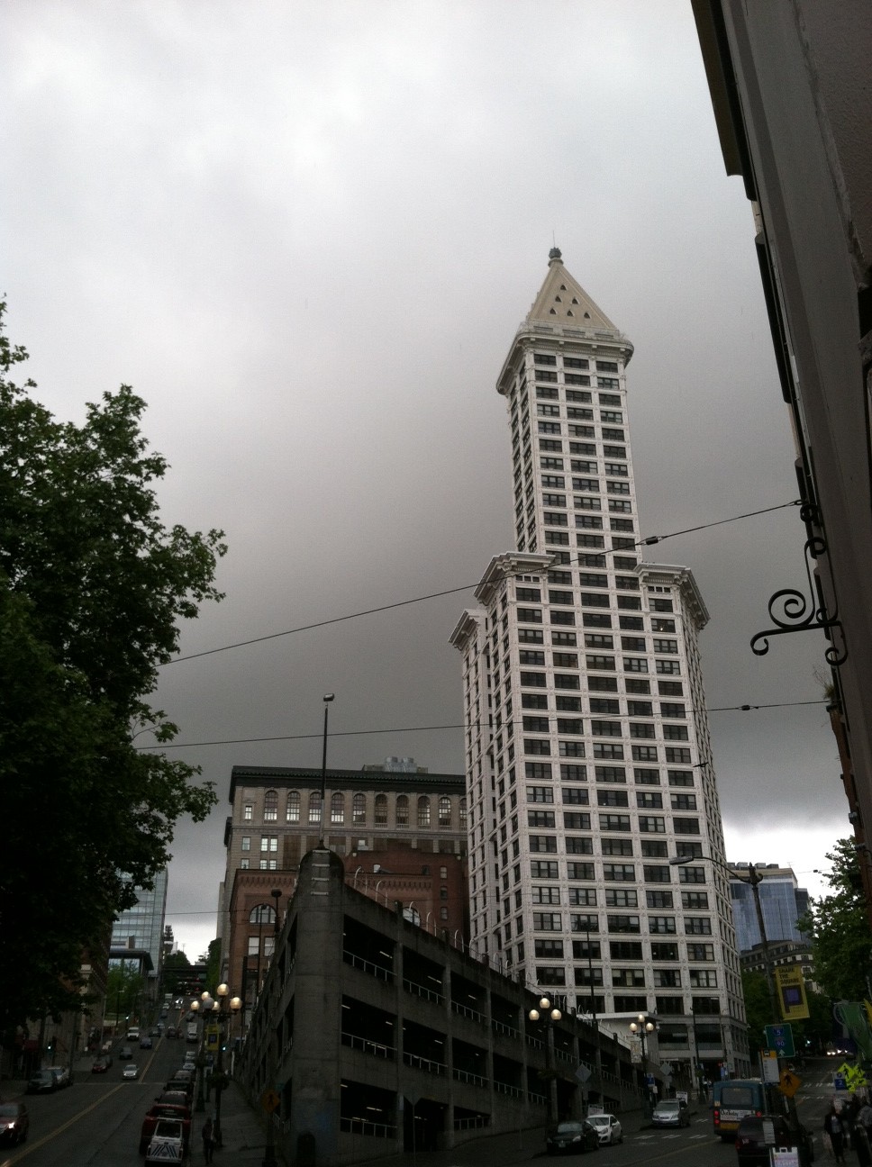
Two weeks after skyrocketing to a chart-topping 87, the mercury plunged in the opposite direction yesterday, peaking at just 52 degrees—the coldest high temperature ever observed in Seattle on May 22.
Previously, the record for the day belonged to 1984, when a soaking 0.67 inches of rain held the high to 54—but we slipped a few degrees lower Wednesday, thanks to a cold upper level low and some damp skies of our own. In fact, Seattle logged slightly over half an inch of rain yesterday, with the bulk falling during the morning—allowing us to keep a lid on temperatures for a good chunk of the day.
Fortunately, with the sun already poking a few holes in the overcast sky this morning, we should warm up a little more today, with temperatures closing in on 60 degrees. While that’s still several notches below the norm of 66, it’s at least safely out of record-setting territory—the mark for the coldest high on May 23 is a frigid 49 degrees from 1962. Showers should also be less abundant, although we’ll still dodge raindrops from time to time as the upper level low remains overhead.
The low drops further south into Oregon tomorrow morning, before swinging northeast into Canada later in the day. This should shunt the worst of the rain to our south and east—but once again, Western Washington won’t be entirely immune from some leftover showers. Rain is most likely in the Seattle area during the late afternoon and evening tomorrow, with amounts around a tenth of an inch.
With the upper low no longer perched directly over us, though, temperatures should creep upward a couple more degrees, topping off in the lower 60s under partial sunshine. Similar conditions are likely on Saturday as the focus of the rain shifts north of the border, although a few showers will sneak into the Sound during the late afternoon hours.
Sunday promises to be the best day of the long holiday weekend, with dry conditions taking hold region-wide by mid-morning. With a fair amount of clouds still hanging around, it won’t be a warm one by any stretch, but temperatures should at least rebound to the mid 60s—average for the final week of May.
Memorial Day also kicks off on a tranquil note, but the peace will be short-lived as another system rolls onshore during the afternoon. Rain is likely across all areas by Monday night, with temperatures once again falling back below normal.
Sigh—what goes down has to come up again too, right?


God is responsible for this lame-ass weather!