
Thanks a lot, Alaska.
A cold upper level low plaguing The Last Frontier since Thursday is set to dive south into Western Washington on Tuesday, sending high temperatures crashing 10 degrees below normal amid frequent downpours. The low is expected to stick around for the balance of the workweek, keeping Seattle shivering in the 50s while pesky bands of showers roam the region.
Couldn’t our Alaskan friends have booted this troublemaker into the Arctic or something?
Fortunately, before the blitz of cold air arrives, a full day of sunshine is on tap.
Skies will continue to clear this evening as today’s cloudcover wears thin, allowing the mercury to drop into the upper 40s overnight—typical for mid-May. Tomorrow then starts off on a bright note, with sunshine warming the city to the 70-degree mark by late afternoon. Some high clouds ahead of the oncoming storm will make for hazy conditions during the second part of the day, but it’ll be a balmy one nonetheless.
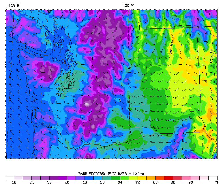
The bottom falls out on Tuesday as the upper level low approaches, driving a strong cold front into Seattle just after sunrise. Pelting rain and breezy conditions can be expected across all of the Sound by late morning, with most places picking up at least a quarter-inch of rain as the front barrels east.
Behind the front, the upper level low takes center stage, spinning up some hefty showers during the afternoon as cooler air sweeps into the region. The high temperature on Tuesday should top out below 60 degrees for the first time this month.
In between the showers, we’ll also see plenty of sunbreaks—although this will only help to touch off additional bursts of rainfall through the early evening hours. We quiet down a bit Tuesday night, before another round of moisture rolls through on Wednesday. With the cold area of low pressure sitting on top of us, temperatures will slump a notch further, only peaking in the mid 50s. That should put Seattle within striking distance of the record coldest high temperature for May 22—54 degrees from 1984.
Isolated thunderstorms are also possible around the area Wednesday into Thursday—although at this time, the best shot looks to be further south near Portland. The cool weather lingers until Friday, when the upper level low finally comes to its senses and makes a beeline into Canada.
Back toward the frigid prairies of the north, where it’s sure to get a far more welcome reception.


Hi Justin
I have the feeling, looking at wunderground.com , that West Seattle is drier than Seatac .What do you think?
You’re definitely right. In general, places north of Sea-Tac are drier, thanks to more of an influence from the Olympic Rain Shadow. (Sea-Tac is affected by the rain shadow too, but not as much as Seattle proper.) To wit, Sea-Tac averages 37.49″ a year, whereas the Sand Point neighborhood in North Seattle averages 36.27″. My guess would be that West Seattle averages around an inch less a year than the airport.