
It could have been a little warmer, but who’s complaining?
The mercury only slumped to 34 degrees at Sea-Tac Airport this morning—three below our average mid-January low, but all-around balmy in light of our recent bout with subfreezing temperatures. In fact, until yesterday morning’s low of 36, Seattle had fallen below 32 degrees every single day since Jan. 10—a unlucky stretch of 13 days.
The persistent chilly, foggy weather—brought on by a massive temperature inversion that baked the mountains in warmth while leaving the lowlands in the cold—finally bid adieu to the region yesterday, as a frontal system nudged the high pressure overhead to our east. With the door finally open to warmer air at the surface, temperatures shot up into the mid 40s—the toastiest they’d been in almost two weeks.
The relatively mild conditions will continue through Saturday as another rarity of the past two weeks—rain—tries to re-establish itself on the local scene. Like warm weather, the rain also went AWOL for quite some time—vanishing from Seattle late in the afternoon of the 10th and not re-appearing until noontime yesterday. In between, we rattled off an impressive streak of 12 consecutive dry January days—second only to a 15-day stretch in January of 1963.
With the rain officially back from hiatus, we’ll start chipping away at our deficit of nearly one and a half inches—through the 23rd, Seattle has seen just 2.91 inches of rainfall, compared to the norm of 4.29. As a fast-moving cold front sweeps through the region later tonight into tomorrow, we should collect a quarter-inch of precipitation or so—good enough to finally bump January’s rainfall total over the 3-inch mark.
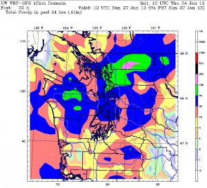
Dry skies set in once again by mid-morning tomorrow, with highs topping out in the 45-degree range. After a tranquil Friday afternoon and evening, a cold upper level low noses into the Pacific Northwest on Saturday, spreading moderate rain back into the area. Amounts should come in just under half an inch.
By Sunday, things turn more showery and a little cooler as weather systems start coming at us from the northwest. High temperatures on both Sunday and Monday will dip back into the lower 40s—solidly below the late-January average of 48 degrees, but nowhere near last Saturday’s chilly max of 34.
Which, funny enough, also served as this morning’s low. Really, what’s there to grumble about?


