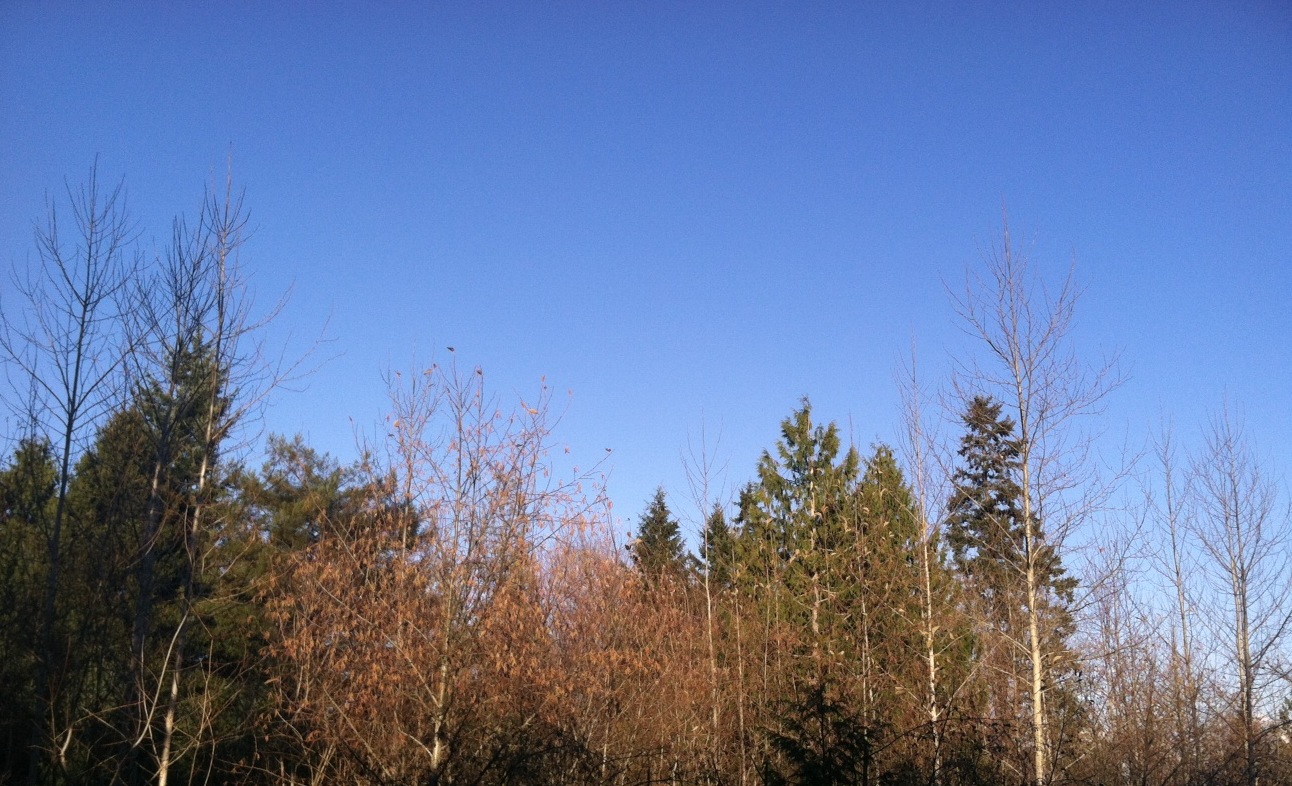
Ah, the price of sunshine in December.
Dry air from the northern reaches of Canada is making for another week of clear skies across Western Washington—but with very cold temperatures.
Seattle bottomed out at 28 degrees this morning—the coldest reading in the city since last January—while it was even chillier to the south, with both Tacoma and Olympia slumping to the teens. High temperatures today also ran well below normal, with the mercury only briefly touching 40 degrees in the metro area.
It’s rinse-and-repeat for tomorrow, with lows dropping into the mid 20s overnight around Seattle and the 15-to-20 degree range elsewhere. Seattle’s record low for the date—23 degrees from 1956—appears safe, but it’ll be a close call.

Like today, tomorrow should dawn on a mostly clear note—but clouds will increase from the north as the day wears on. This is thanks to an area of low pressure sliding down our coastline from Vancouver Island, on its way to a landfall near Medford, where several inches of snow could fall. While the low will be far enough away from us to keep things dry, it’ll be close enough to gunk up our skies—we’ll go from mostly sunny to mostly cloudy by the afternoon. Highs will stay cool in the upper 30s.
The low tracks into southern Oregon early on Friday, spreading snow as far north as Salem—but nowhere close to Seattle. Instead, we’ll be treated to another chilly but dry day, with temperatures ranging from the mid 20s in the morning to the mid 30s late in the afternoon. Skies will also become mostly sunny by midday.
More cold air seeps into the state Friday night into Saturday, lowering overnight temperatures to their coldest so far this season—20 degrees near Seattle and the mid-teens outside the urban corridor. Another round of daytime sunshine will hardly matter, with the influx of arctic air limiting high temperatures to the freezing mark.
The frigid air stays with us through next Monday as high pressure over Alaska blocks our typical wet weather from reaching us. Things eventually warm up by the middle of the week, with the rains ultimately returning—but until then, it’s a steady diet of dry and cold.
Nothing like shivering in the sunshine, huh?


