A dash of rain. A tinge of sun.
And one giant heaping of clouds.
That sums up our weather for the next several days as a series of fizzling fronts, guided by low pressure off the coast, stumble into the region. Because it’s still summer, these systems won’t have much teeth to them—at best, they’ll drop a tenth of an inch of rain across the metro area as they shuffle through. Toothless or not, they’ll still feature plenty of clouds, casting Seattle in varying shades of gray as August draws to a close.
Tomorrow begins on yet another mild note, with the mercury only bottoming out in the low 60s thanks to abundant cloud cover. Amazingly, this will make for the city’s twentieth consecutive above-average low temperature—the last time Seattle bagged a normal low was Aug. 6, when the thermometer leveled off at 57 degrees. (The average minimum temperature in Seattle this time of year is now 55.)
The clouds should fade a bit as the morning wears on, yielding a few sunbreaks during the lunch hour. By late in the afternoon, however, we’ll revert back to gray skies as a decaying front approaches from the west. Highs will scrape the mid 70s—a slight improvement from today’s below-normal max of 72 degrees.
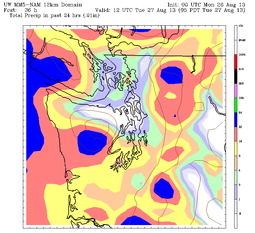
The front falls apart even further as it sputters into Puget Sound Monday night, coughing up a few last gasps of rainfall before heading into the Cascades. Most places won’t see more than a couple hours of very light rain, with the best chance for showers staying to the south and west of Seattle.
Skies thin out a little by Tuesday morning, with another couple peeks of sunshine during the afternoon. Lo and behold, it’s back to the clouds by Tuesday night as another weak system nears, with more light rain spreading into the area on Wednesday. Highs will remain steady at 75 degrees.
The pattern repeats itself again on Thursday, with a bit of a reprieve in the morning, followed by increasing clouds and showers later in the day. Friday is also likely to wind up damp and gray as an upper level low dives into the region from the northwest.
Got sun, anyone?