
Seven straight days of above-normal temperatures. Only a smattering of rain. Back-to-back 80-degree readings.
Seattle’s just-concluded first week of June sure is going to be a tough act to follow.
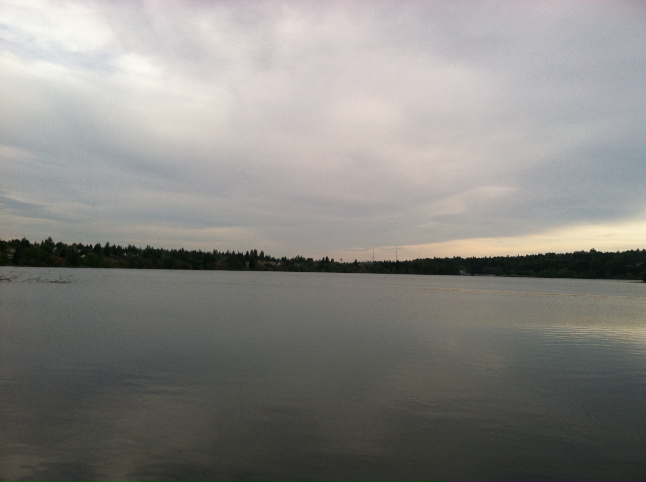
We’re already off to a less-than-impressive start, with a batch of low clouds that swarmed in from the Pacific last night hanging tough over Puget Sound, especially from King County northward. As we get further into the afternoon, the clouds will slowly fade as strong late-spring sunshine wins out—but high temperatures will take a hit regardless. Expect the mercury to max out in the upper 60s.
After some overnight clearing, the next round of marine air spills into Western Washington early tomorrow, dragging more clouds into the city by sunrise. Like today, they’ll take a while to burn off—probably not clearing out until late Sunday afternoon. Temperatures will stay stuck at 60 degrees until the sun appears, eventually creeping into the mid 60s under partly cloudy skies.
Monday marks day three of the cool-down, with another dose of morning gray limiting highs to 65 degrees or so. This, of course, is very typical for June around here—low clouds during the first part of the day often keep our temperatures in check—but after last week’s run of atypical warm weather, it’ll be harder to swallow. (Wednesday’s high of 80 degrees marked the first time since 2009 that Seattle reached the 80s in June.)
We’ll manage a fair amount of sunshine Monday afternoon and evening, before the first significant weather system in almost two weeks slips into our neck of the woods later in the night. By Tuesday morning, scattered showers should start cropping up along the coast as an area of low pressure overhead grabs the reigns. Late Tuesday night, light rain will be possible across all of Western Washington as the upper level low spins toward the northern half of the state.
Cool, showery conditions will plague the region on Wednesday, with thermometers refusing to budge from the lower 60s—several degrees below the normal high of 69. Rainfall amounts will top out around a quarter of an inch, with higher totals east of Seattle near the foothills. Isolated thunderstorms are also possible, primarily in the mountains, where the passes could take a real pounding Wednesday night.
The low makes for the border on Thursday, crossing into B.C. by noon and taking our rain chances with it. Temperatures will still struggle to rise past the mid 60s, but the clouds should thin out, with sunshine re-establishing itself in the afternoon.
Not exactly the 80 degrees and blazing blue skies of last week—but hey, the sequel is never as good as the original, right?


This weather is less than inspirational for a outdoor skate… so I am getting things done around the house, not my idea of a saturday, but what the hey, I did get in a skate, Thursday afternoon at Shilshole, then the cool weather came at about 6:00, luckily I have fridays off, the weather was blahh, so I cault up on some much needed sleep, spent some time with my new Kitty >^..^< Curly Moe I adopted him from Purrfect Pals in Marysville, this is his first month with me, I lost my prev. to hyperthyroid, and kidney failuer, he was 16 yrs. He loved to go out on sunny days for walks (leash trained) Curly Does too!